U.S. Geological Survey Open-File Report 2010–1007
Sea-Floor Geology and Character Offshore of Rocky Point, New York
 |
||
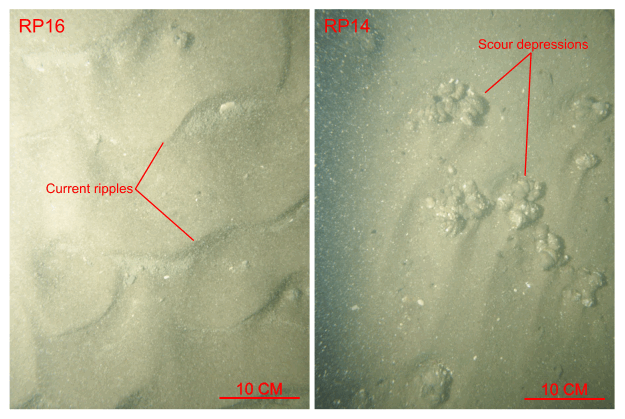
Figure 30. Bottom photographs from stations RP16 and RP14 of current-rippled sand that is prevalent in areas characterized by sedimentary environments of coarse-bedload transport. Note the concentration of detritus in the ripple troughs and the scour around obstacles. Station locations are shown in figure 12. | ||

![]() U.S. Department of the Interior |
U.S. Geological Survey
U.S. Department of the Interior |
U.S. Geological Survey
URL: https://pubsdata.usgs.gov/pubs/of/2010/1007/html/fig30.html
Page Contact Information: Contact USGS
Page Last Modified: Wednesday, 07-Dec-2016 22:38:17 EST


