U.S. Geological Survey Data Series 799
Click on a segment name to view the contact sheet.
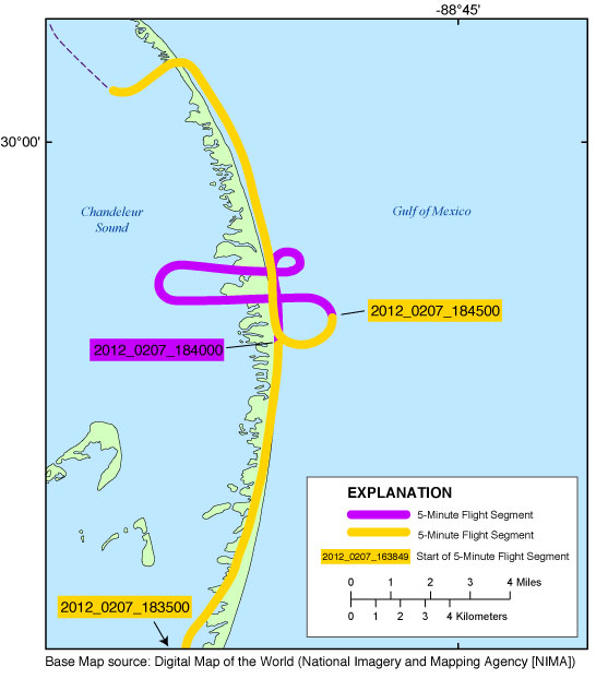
| Figure 5. Map showing the North Benchmark Inset Map of the baseline northern Gulf of Mexico oblique photography survey flightpath. Purple and yellow colored sections correspond to 5-minute flight segments that link to contact sheets of associated photo thumbnails. Click on the 5-minute segment name to view each contact sheet. |

![]() U.S. Department of the Interior |
U.S. Geological Survey
U.S. Department of the Interior |
U.S. Geological Survey
URL: http://pubsdata.usgs.gov/pubs/ds/0799/html/inset_northbenchmark.html
Page Contact Information: GS Pubs Web Contact
Page Last Modified: Monday, 28-Nov-2016 19:26:11 EST
