Data Series 901
| Data AcquisitionThe CSAMT soundings were carried out using a Geometrics Stratagem EH-4 system on and near Mount St. Helens in 2010 and 2011. In all cases save one (station MSH-1102, where a natural-source audio-frequency magnetotelluric [NSAMT] approach was used), a controlled-source inductive transmitter was used to improve the quality of the received signal. The transmitter substantially improves the signal/noise ratio and thus shortens the time required for a measurement. Station MSH-1102 (NSAMT) was repeated using a controlled-source electromagnetic transmitter, with station MSH-1110 (CSAMT) measured subsequently as a quality check. The transmitter was always located approximately 250 meters away from each receiver location to maximize signal quality, but also to avoid near-field distortion effects. The transmitter was only needed to augment the weak mid-band natural signals (450–2,700 Hz), so we acquired preliminary bulk resistivity data and used the Stratagem EH-4 manual (Geometrics, 2007, fig. 5) to calculate skin-depth and guide us on where to place the transmitter. We used high-sensitivity EMI Corporation magnetic coils and orthogonal, 25-meter electric dipoles. The latter were coupled to porous-pot ceramic, non-polarizing electrodes, as sensors. The CSAMT station locations are shown in figure 1, and the station coordinates and elevations are provided in the “GPS Data” section (table 1). Photographs of the CSAMT equipment are shown in figure 2. A Long Ranger (Bell 206L) helicopter was used for access to all stations, with permission of the Mount St. Helens National Volcanic Monument. Two load trips were required for each station.
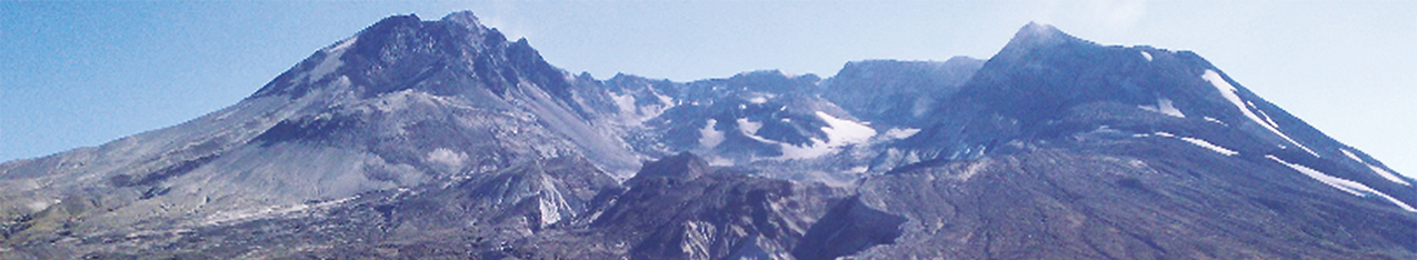
Figure 1. A Google Earth image of Mount St. Helens, showing the controlled-source audio-frequency magnetotelluric (CSAMT) station locations. The step scarp, a pronounced topographic offset (north side down), is shown as a blue line. 2010The soundings carried out in September 2010 were done as a proof-of-concept experiment. They successfully identified a shallow conductor seen earlier in time-domain electromagnetic (TEM) profiling carried out in 2007 (Bedrosian and others, 2008). The soundings represent two repeat measurements each at two different receiver locations inside the crater, and close to the terminus of the growing Crater Glacier at that time. The double measurements were made to ascertain the precision that we could anticipate during subsequent measurements and inversions of the data. Two different receiver locations (see next section) were utilized with an equidistant transmitter for all four measurements. The 2010 stations are labeled MSH-1001 to MSH-1004. 2011 Additional soundings were carried out in September 2011 in two stages. Environmental conditions were virtually identical both years. The first stage acquired a profile from the terminus of the Crater Glacier to the North Fork Toutle River, crossing and sampling the Pumice Plain in a north-south transect. This profile was designed to map the deep regional aquifer, and to determine what (if any) connection it had to the shallow aquifer observed a year earlier inside the crater. Three additional stations were acquired subsequently on the south, west, and east flanks of the volcanic edifice, plus a repeat station at the north edge of the Crater Glacier. These stations were acquired to ascertain if there was any perched water within the edifice. Stations could not be acquired in the central core of the volcano, in the vicinity of the 1980-86 or 2004-2008 lava domes, as there is no way to make an adequate electrical connection with the ground here due to loose talus and ice. The 2011 stations are labeled MSH-1102 to MSH-1110.
|
|||||||||||||||

![]() U.S. Department of the Interior |
U.S. Geological Survey
U.S. Department of the Interior |
U.S. Geological Survey
URL: http://pubsdata.usgs.gov/pubs/ds/0901/data_acquisition.html
Page Contact Information: GS Pubs Web Contact
Page Last Modified: Monday, 28-Nov-2016 20:31:43 EST

 station locations. The step scarp, a pronounced topographic offset (north side down), is shown as a blue line.")
 transmitter for repeat station MSH-1001-1002, located north of Crater Glacier (black ridge visible in the middle distance) and the 1980–86 and 2004–2008 dacite lava domes (left upper background) inside Mount St. Helens crater (crater walls seen in the top center and upper right).")
 receiver and the electrodes used for the electrical-field measurements. The location here is station MSH-1001-1002, just north of Crater Glacier (seen in the background behind the umbrella).")