Data Series 945
Click on a segment name to view the contact sheet.

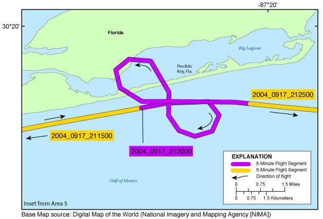
| Figure 10. Perdido Key (return transit) inset map (Area 4). Map showing the flight path of the post-Hurricane Ivan coastal oblique aerial survey at the east end of Perdido Key, Florida. Purple and yellow colored lines correspond to 5-minute flight segments that link to contact sheets of associated photo thumbnails. Click on the 5-minute segment name to view each contact sheet. |