USGS, NOAA, FEMA
U.S. Geological Survey
Data Series 236
Version 1.0
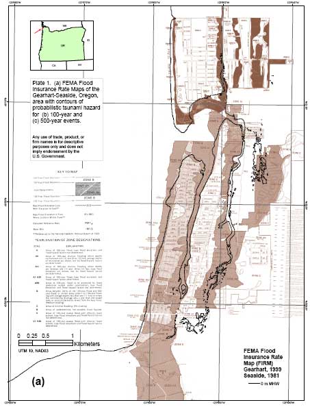
data layers:f4100300001d (Gearhart)
|
Report Home |
Top | Menu | Abbreviations

![]() U.S. Department of the Interior | U.S. Geological Survey
U.S. Department of the Interior | U.S. Geological Survey
URL: https://pubsdata.usgs.gov/pubs/ds/2006/236/figures/f_firm.shtml
Page Contact Information: Florence L. Wong
Page Last Modified: Monday, 28-Nov-2016 12:02:15 EST(flw)