U.S. Geological Survey Data Series 620
Click on the highlighted area below to view the survey area in greater detail.
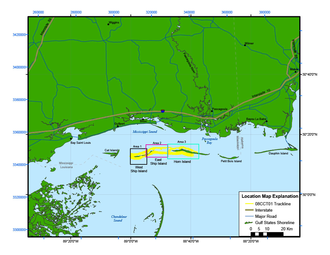
Figure 2. Location map of all digital seismic reflection data collected during USGS field activity 08CCT01.

![]() U.S. Department of the Interior |
U.S. Geological Survey
U.S. Department of the Interior |
U.S. Geological Survey
URL: http://pubsdata.usgs.gov/pubs/ds/620/html/location.html
Page Contact Information: GS Pubs Web Contact
Page Last Modified: Monday, 28-Nov-2016 17:54:45 EST
