USGS - science for a changing world

U.S. Geological Survey Data Series 620

Area 3 Map


Home | Acronyms | Contents | Navigation | Profiles | Logs | Metadata | Software


Location Map | Area 1 | Area 2 | Area 3 | Area 3a | Area 3b


Click on the highlighted area below to view the survey area in greater detail.
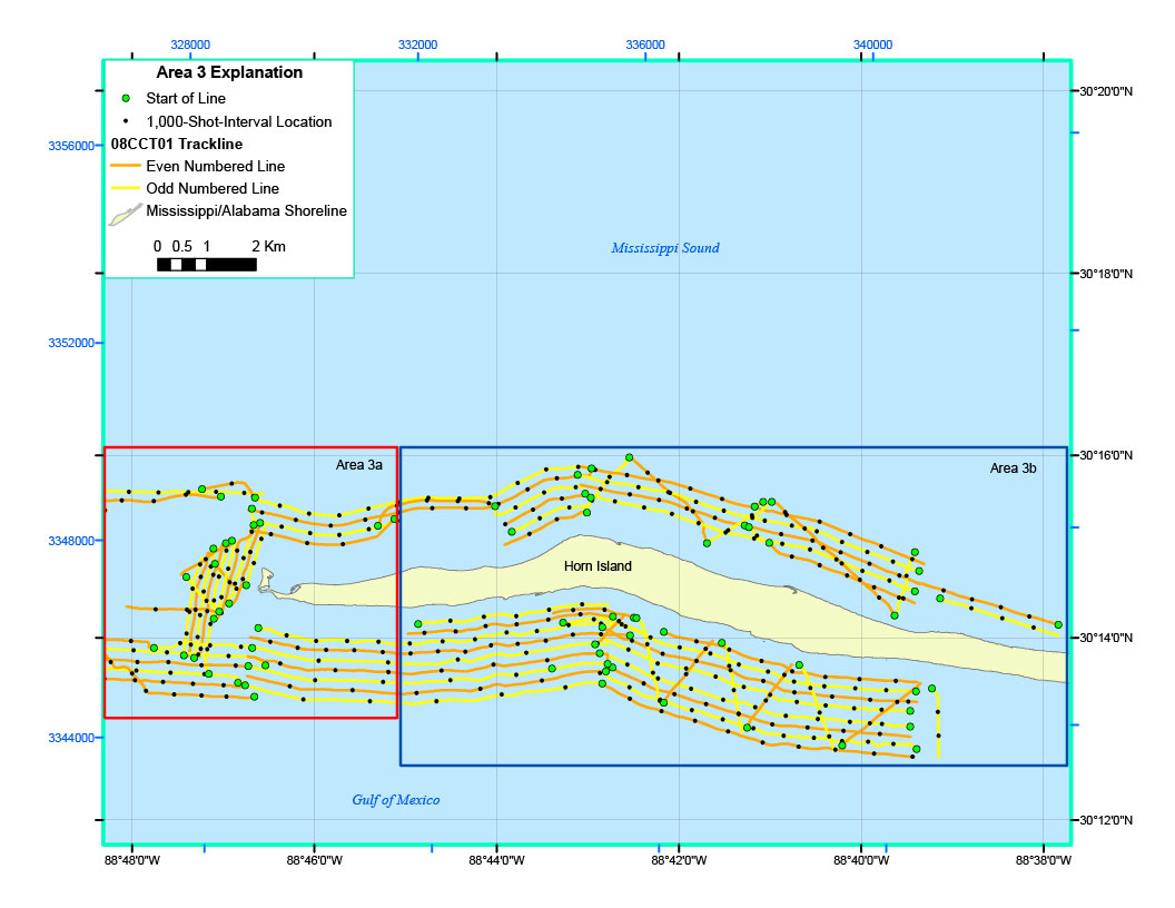
Horn Island MapArea 3b Horn IslandArea 3a Horn Island

Figure 5. Trackline map of digital seismic reflection data collected offshore of Horn Island (refer to Area 3 on the location map) during USGS field activity 08CCT01.


Home | Acronyms | Contents | Navigation | Profiles | Logs | Metadata | Software