USGS - science for a changing world

U.S. Geological Survey Data Series 652

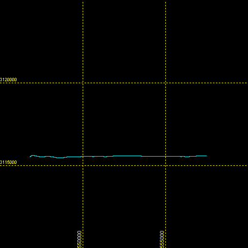
Cruise 97FGS01 - Boomer Line sb_b35_a Navigation Map

Home | Acronyms | Contents | Navigation | Profiles | Logs | Metadata | Software


Item Details Trackline Map - UTM Zone 17
Minimum Northing
Minimum Latitude
3115442.4
28 09.8296' N
line navigation map
Maximum Northing
Maximum Latitude
3115646.7
28 09.9148' N
Minimum Easting
Minimum Longitude
546787.2
080 31.4055' W
Maximum Easting
Maximum Longitude
557507.2
080 24.8535' W

Full Survey Area | Area A | Area B | Area C | Area D


Accessibility FOIA Privacy Policies and Notices

Take Pride in America logo USA.gov logo U.S. Department of the Interior | U.S. Geological Survey
URL: http://pubsdata.usgs.gov/pubs/ds/652/maps/linenav/97fgs01/sb_b35_a_nav.html
Page Contact Information: GS Pubs Web Contact
Page Last Modified: Monday, 28-Nov-2016 18:54:09 EST