U.S. Geological Survey Data Series 652
| Item | Details | Trackline Map - UTM Zone 17 |
|---|---|---|
| Minimum Northing Minimum Latitude |
3088707.0 27 55.3225' N |
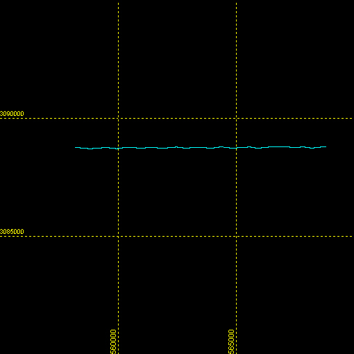 |
| Maximum Northing Maximum Latitude |
3088834.9 27 55.3613' N |
|
| Minimum Easting Minimum Longitude |
558137.1 080 24.5484' W |
|
| Maximum Easting Maximum Longitude |
568808.1 080 18.0412' W |

![]() U.S. Department of the Interior |
U.S. Geological Survey
U.S. Department of the Interior |
U.S. Geological Survey
URL: http://pubsdata.usgs.gov/pubs/ds/652/maps/linenav/97fgs01/sb_b70_a_nav.html
Page Contact Information: GS Pubs Web Contact
Page Last Modified: Monday, 28-Nov-2016 18:55:01 EST
