Georiga Water Science Center
U.S. Geological Survey General Interest Publication 4
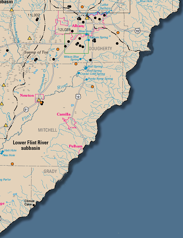 |
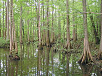
Swamp of Toa. Photo courtesy of Chip Evans, Lenz Design and Communications, Inc.
|
Wilson Blue Spring south of Albany. Water discharges from |
|
Water from the Upper Floridan aquifer forms a pool in Climax Cave, Grady County. The crystal- clear pool is about 10 feet in diameter and 8 feet deep. Water levels fluctuate as much as 5 feet. Caves are common in karst areas, such as the lower Flint River subbasin, causing much of the drainage to go underground. |
Recent USGS publications on Georgia or Georgia Water-Resources Information
For more information, please contact webmaster-ga@usgs.gov.

![]() U.S. Department of the Interior | U.S. Geological Survey
U.S. Department of the Interior | U.S. Geological Survey
URL: https://pubsdata.usgs.gov/pubs/gip/2006/04/htdocs/map-se.html
Page Contact Information: Publications Team
Page Last Modified: Wednesday, 30-Nov-2016 12:11:36 EST

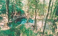
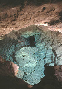 Climax Cave in the lower Flint River subbasin. Photo by Alan M. Cressler, USGS