 |
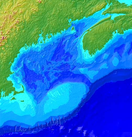
Colored sun-illuminated images of the topography were created in GMT by Mercator projecting the geographic grids and using the grdgradient and grdimage routines to generate a PostScript image. The resulting PostScript files were converted to TIFF files for use in paint and draw packages and display on the Web. gom15a.tiff -- (5.5mb) 15 second Grid 1584 x 1646 |
The GMT produced 15 and 30 second grids were also exported as XYZ ASCII files and then read into Arc using the ASCII2GRID command to produce Arc grid files. Contours were then generated in ARC using the LatticeContour command.
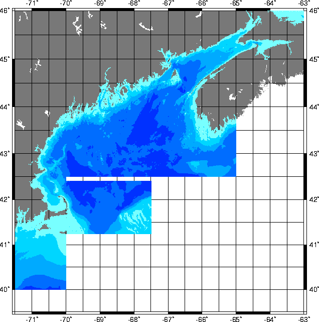
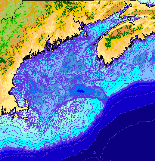 The image above consists of the
15 arc-second grid, contours |
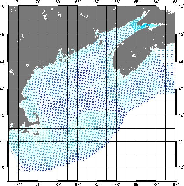
Grids ArcInfo GMT binary NETCDF files Matlab Ascii XYZ Contours contasc2.tar.gz -- (3.5 Mb) Same as contasc.tar.gz, but bathy lines from the 15 second grid were decimated using a coastline reduction algorithm such that only 1/2 the number of points remained. contasc4.tar.gz -- (1.5 Mb) Same as contasc.tar.gz, but bathy lines from the 15 second grid were decimated using a coastline reduction algorithm such that only 1/4 the number of points remained. contasc8.tar.gz -- (0.7 Mb) Same as contasc.tar.gz, but bathy lines from the 15 second grid were decimated using a coastline reduction algorithm such that only 1/8 the number of points remained. contasc16.tar.gz -- (0.4 Mb) Same as contasc.tar.gz, but bathy lines from the 15 second grid were decimated using a coastline reduction algorithm such that only 1/16 the number of points remained. This still looks pretty good for most applications. You might try this first! |
The following files are ASCII formatted files that have been gzipped to save space.
In all of the following files, there are three columns containing longitude (west
negative), latitude (north positive) and topographic elevation in meters above mean sea
level. Thus water depths are negative and land elevations are positive.
The horizontal datum is NAD83 and the vertical datum is MSL.
 |
greenberg.xyz.gz -- (135 kb) Bathymetry data retrieved online from the U.S. GLOBEC Georges Bank Program web site, originally generated by David Greenberg from the Bedford Institute of Oceanography. |
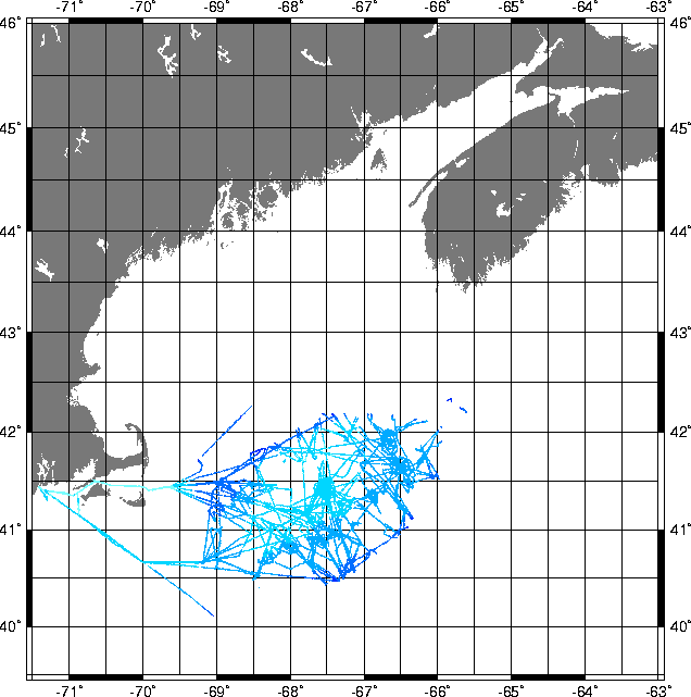 |
c_flagg.xyz.gz -- (179 kb) Bathymetry data retrieved online from the U.S. GLOBEC Georges Bank Program web site, provided by Charlie Flagg. This is shiptrack bathymetry data from acoustic doppler current profiler cruisse to Georges Bank. Uncorrected for tides so values are probally good +- 1.5 meters. |
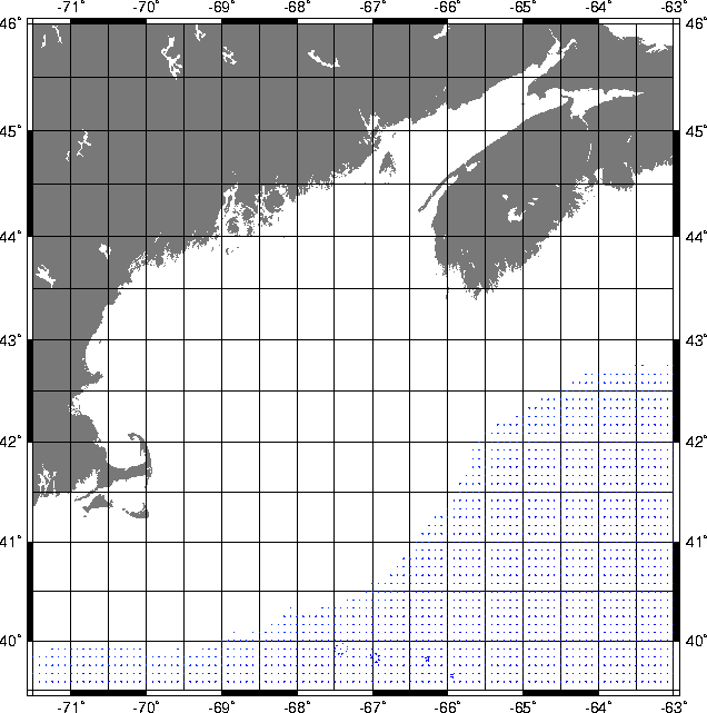 |
offshore.xyz.gz --(10 kb) ETOPO5 5 minute bathymetry from the Defense Mapping Agency and the 2000 and 3000 meter isobaths from the GEBCO General Bathymetric Chart of the Oceans from International Hydrographic Office. |
 |
dbdbv.xyz.gz -- (2.4 mb) Bathymetric
data from the DBDB-V Digital Bathymetry Data Base
from the Naval Oceanographic Office. |
| NOAA Medium Resolution Digital Shoreline and DMA World Vector Shoreline |
| ArcInfo wvsdd.e00.gz -- (495 kb) DMA World Vector Shoreline ec80_coast.e00.gz --(1.3 mb) NOAA Medium resolution digital Shoreline |
| ASCII xyz wvs_coast.xyz.gz -- (152 kb) DMA World Vector Shoreline ec80_coast.xyz.gz -- (975 kb) NOAA Medium resolution digital Shoreline |
For comments and questions, contact Rich Signell
[an error occurred while processing this directive]
