U. S. Geological Survey Open-File Report 01-154
|
|
|
U. S. Geological Survey Open-File Report 01-154 |
SEA-FLOOR PHOTOGRAPHY FROM THE CONTINENTAL MARGIN PROGRAM:A Pictorial Survey of Benthic Character and Habitats
|
|
Photographic Gallery of personnel, facilities and equipment from the Continental Margin Program |
|
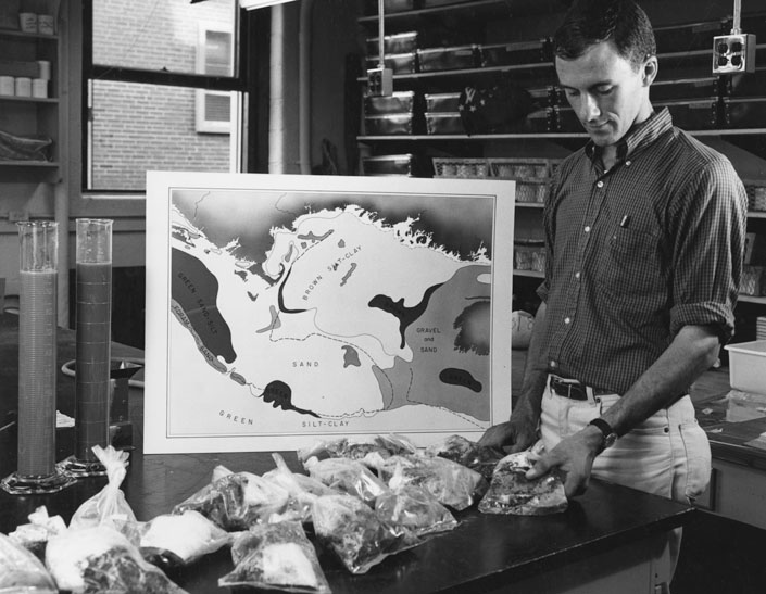
Joseph R. Frothingham, Jr., WHOI, examines sediment samples from the Atlantic coastal plain. These samples will be pulverized with a high-frequency sound and carefully analyzed for size and weight to determine the characteristics of the sample. The map illustrates how the Atlantic Continental Shelf and Slope will be classified according to the bottom composition in the Cape Cod - Gulf of Maine area by the joint WHOI-USGS team at Woods Hole, Massachusetts. |