Contaminated Sediments Database for the Gulf of Maine, OFR 02-403
Home/Abstract
Site Map
Introduction
Content Overview
How to Reach Us
Database Construction
How to Access
the Data
Data Utilization
Data Tables & Maps
Geographic Context
& Outside Links
References Cited
Collaborators
Acknowledgements
DISCLAIMER
ORGANIC CONTAMINANTS PLOTS AND GRAPHS
The database authors have identified and compiled historic data from many studies and programs that measured concentrations of organic chemical contaminants in marine sediments in the Gulf of Maine. Six contaminants have been selected to demonstrate this aspect of the combined database. These are: two polycyclic aromatic hydrocarbons (PAH), two chlorobiphenyl congeners of polychlorinated biphenyls (PCB), and two chlorinated pesticides. These compounds were selected because they are frequently reported by the various investigators and agencies whose data are assembled here, and because they are representative of the distribution of data in the database.
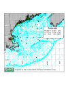
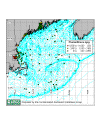
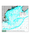
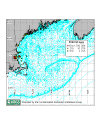
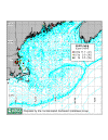
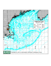
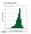
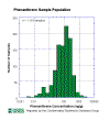
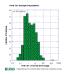
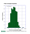
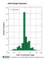
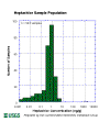
The following maps show surface samples for these parameters. Click on the Pyrene image to view the Gulf of Maine and its subareas Boston Harbor, Great Bay, Casco Bay and Penobscot Bay. The plots of Phenanthrene, PCB 101, PCB 153, Aldrin and Heptachlor include views of both the entire Gulf of Maine and of Boston Harbor. Numbers on smaller regional map legends refer to the number of samples in that concentration range in the entire gulf and not for the sub-areas. The number of samples in the database for selected parameters is shown by histograms, where N is the number of total samples compiled for the parameter shown.
| Pyrene (41 KB) |
Phenanthrene (42 KB) |
PCB 101 (40 KB) |
 |
 |
 |
|
PCB 153 (40 KB) |
Aldrin (41 KB) |
Heptachlor (41 KB) |
Organics Histograms:
 |
 |
 |
| Pyrene (10KB) |
Phenanthrene (12 KB) |
PCB 101 (13 KB) |
 |
 |
 |
| PCB
153 (14 KB) |
Aldrin
(13 KB) |
Heptachlor (12KB) |
