 |
|
|
||||
| Open-File Report 02–361 |
| About USGS / Science Topics / Maps, Products & Publications / Education / FAQ |

Disclaimer: Not all of the United States has digital
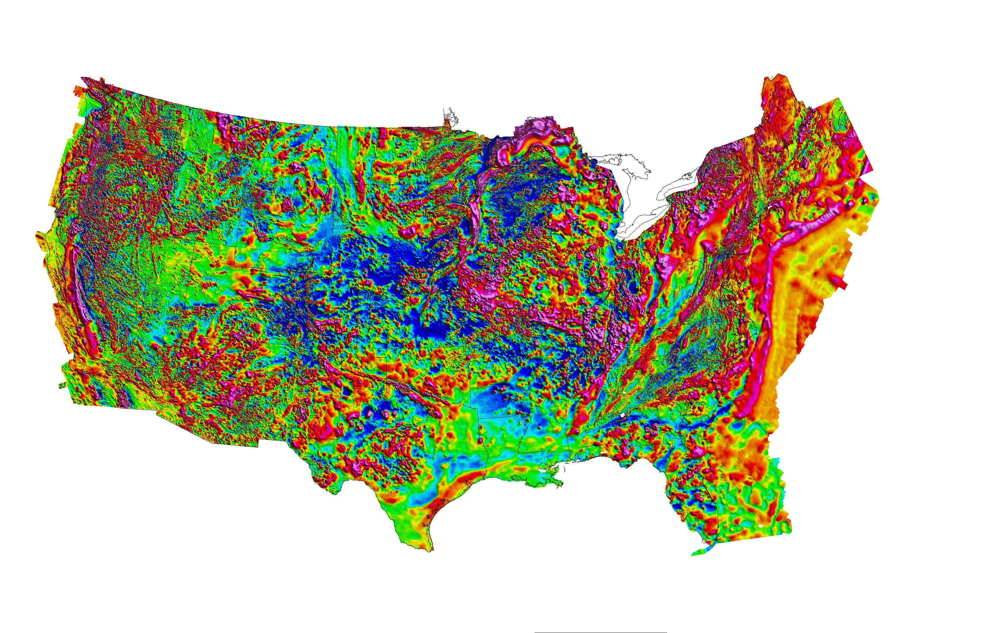
data. The grid that was used to generate this image of the United
States is available as part of the North American Magnetic Anomaly Map, https://pubs.usgs.gov/sm/mag_map/
Magnetic anomaly data provide a means of “seeing through” nonmagnetic rocks
and cover such as vegetation, soil, desert sands, glacial till, man-made
features, and water to reveal lithologic variations and structural features
such as faults, folds, and dikes. Magnetic anomalies reflect variations
in the distribution and type of magnetic minerals, primarily magnetite,
in the Earth’s crust. Magnetic rocks can be mapped from the surface
to great depths, depending on their dimensions, shape, magnetic properties,
and on the character of the local geothermal gradient. In many cases,
examination of magnetic anomalies provides the most expeditious and cost-effective
means to accurately map geologic features in the third dimension (depth)
at a range of scales.
After pioneering the first airborne magnetic survey in 1944, the U.S.
Geological Survey (USGS) has collected piecemeal aeromagnetic data for
most of the U.S., including offshore areas on both coasts. The U.S.
Geological Survey's digital and analog archives comprise more than 1,000
surveys, covering approximately 8,000,000 line-km of data, flown at various
flight heights and line spacings. The purpose of this report is to
compile and standardize original aeromagnetic survey data (approximately
5,800,000 line-km) and make them available to the public. The data
here are a compilation of the currently available digitally standardized
magnetic databases, metadata reports, and images of survey coverage and
quality.
For further information about aeromagnetic data holdings at the U.S.
Geological Survey, please contact
Pat Hill (pathill@usgs.gov) or Bob Kucks
(rkucks@usgs.gov).
This report is preliminary and has not been reviewed for conformity
with U.S. Geological Survey editorial standards. Use of brand names is
for descriptive purposes and does not constitute endorsement by the U.S.
Geological Survey.
Last modified 01/30/2004.
| AccessibilityFOIAPrivacyPolicies and Notices | |
| |
|