U.S. Geological Survey Open-File Report 03-001
| PREVIOUS | NEXT | |
|
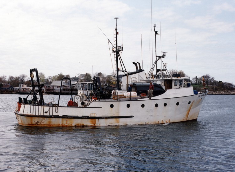
Image shows a starboard-side view of the University of Maine vessel RV ARGO MAINE, a ship used to map the Maine inner continental shelf and for USGS mapping and monitoring studies in Massachusetts Bay and the Stellwagen Bank National Marine Sanctuary. |
||
 |
||
| PREVIOUS | Close Window | NEXT |