
U.S. Geological Survey
Open-File Report 2005-1411
U.S. Geological Survey
Open-File Report 2005-1411
High-resolution multichannel seismic-reflection data acquired in the northern Gulf of Mexico, 2003 |
|
Home Maps 2003 Research Cruise Previous USGS Gulf of Mexico Research Cruises Contacts References Disclaimer Metadata CMG Home Page Search CMG Map Help
I don't see a map, what's wrong? These maps are scalable vector graphics (SVG) maps and require a free plug-in which can be downloaded here. If you didn't see a map, then you need to install this plug-in, and in some cases, restart your browser. If that doesn't work, you can view a static map of each area in PDF format. They can be downloaded here. How do I use this map? 
Shows the longitude and latitude of the cursor on the map. Zoom in, zoom out and full view buttons. Relief toggle button. When relief is on, shows sun direction buttons for relief shading. 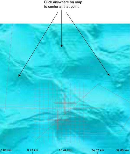
To pan, click anywhere on the map, except a trackline, and the map will center itself around that point. 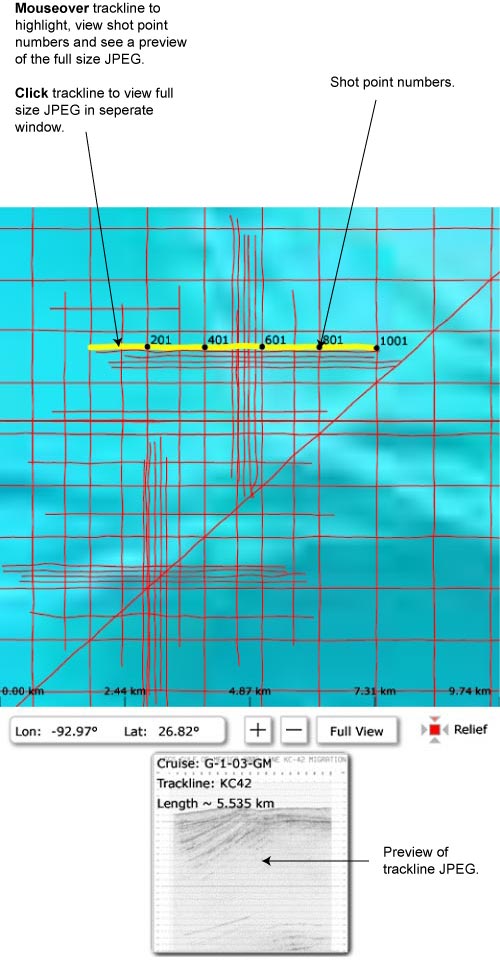
Mouseover a trackline to highlight it and view its shot points and their corresponding number. Also, a preview of the full size JPEG image will be shown, with some information about the trackline, under the map. Click on a trackline and the full size JPEG image will appear in a seperate window. |
|
http://pubs.usgs.gov/of/2005/1411/map_help.html USGS Privacy Statement | Disclaimer | Feedback | Accessibility |