Open-File Report 2005-1413
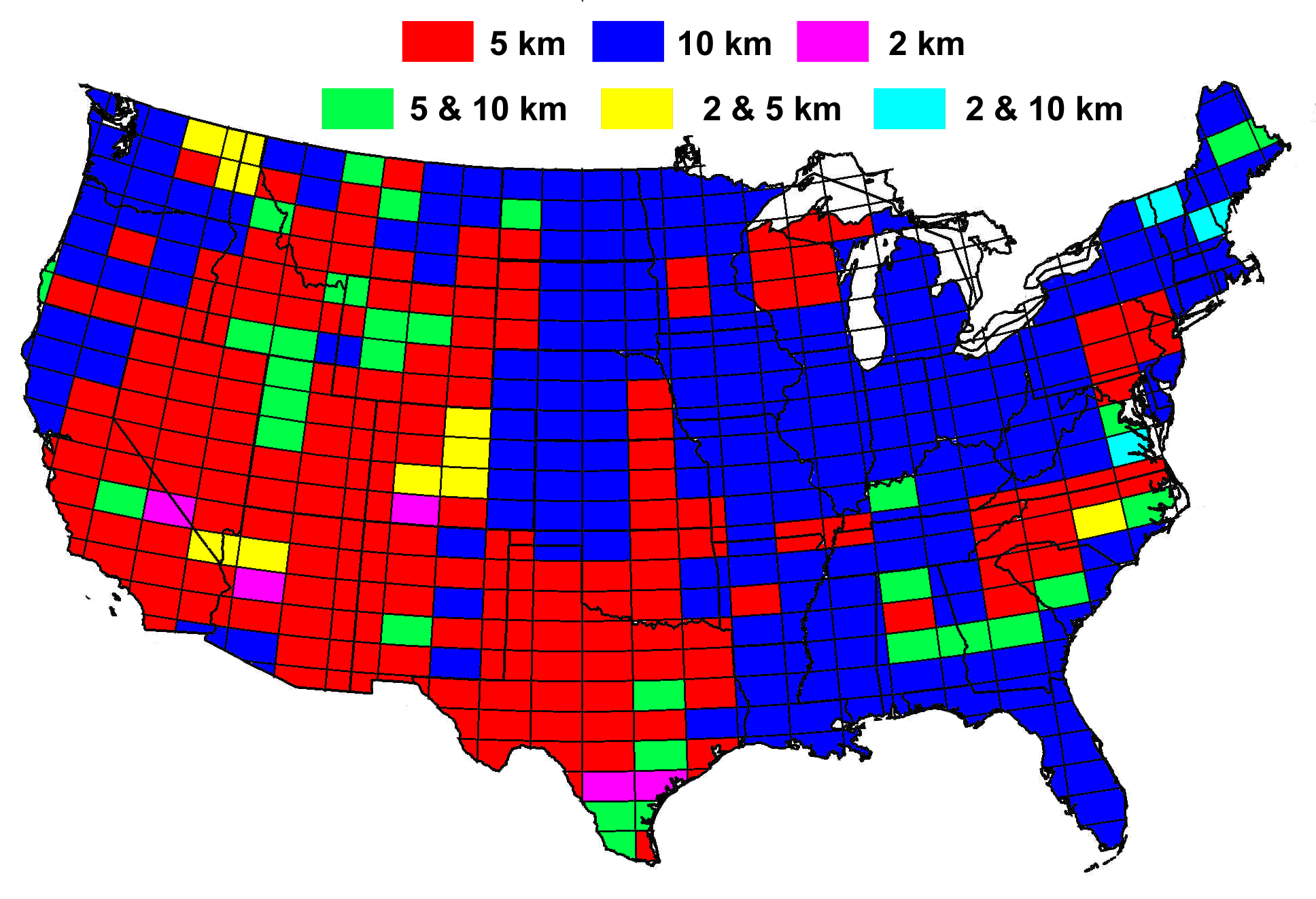
The figure below is color-coded to show the spacings between the flightlines of the aerial gamma-ray surveys flown in the conterminous United States. Most of the surveys in the western part of the country were flown with a 5 km spacing and most of those in the eastern part were flown with a 10 km spacing.

Home | Data Files | Data Processing | Flightline Databases | Maps | References | Glossary