Surficial sediment character of the Louisiana offshore continental shelf region: A GIS Compilation
|
|
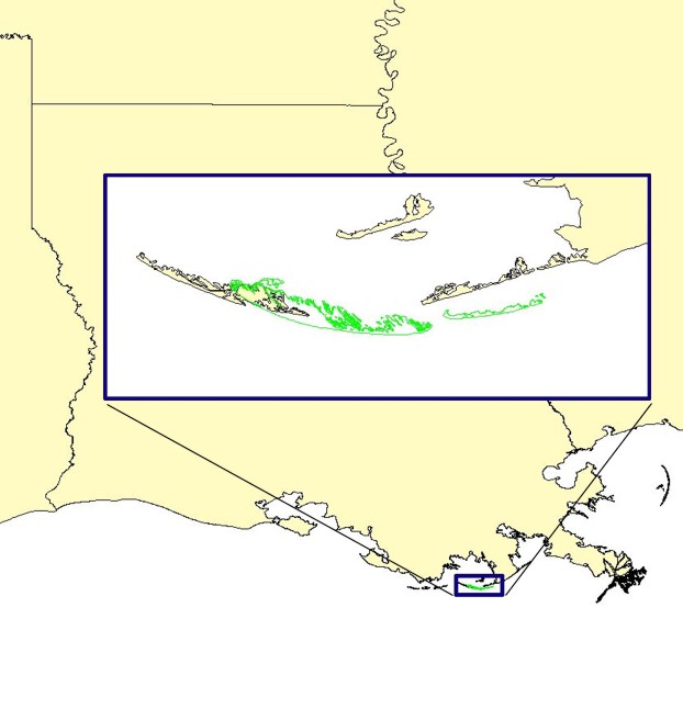
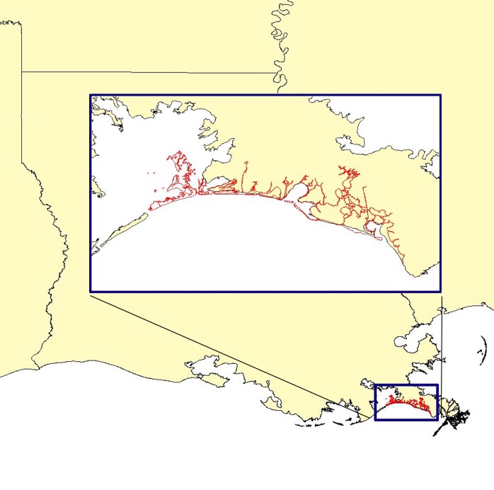
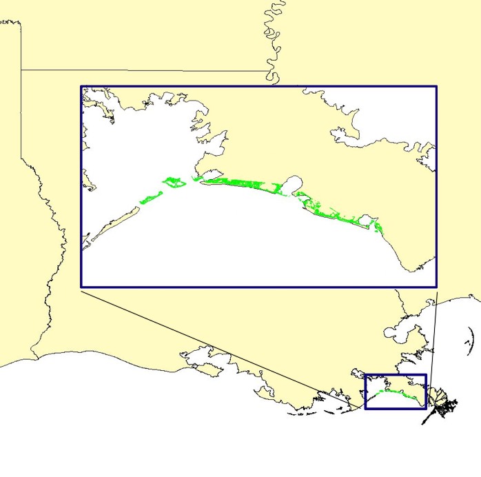
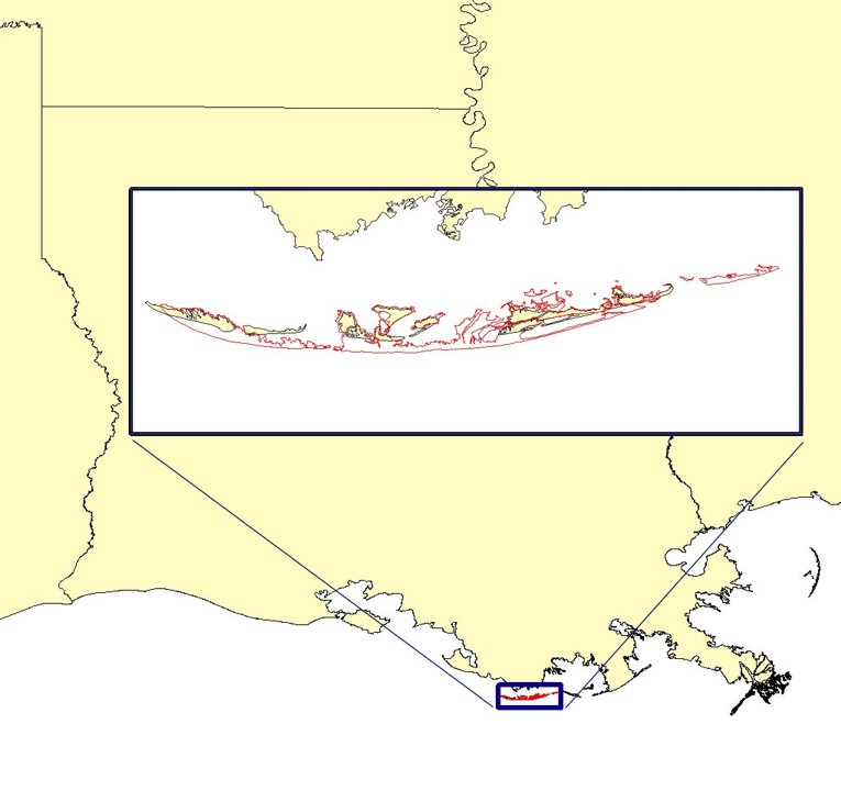
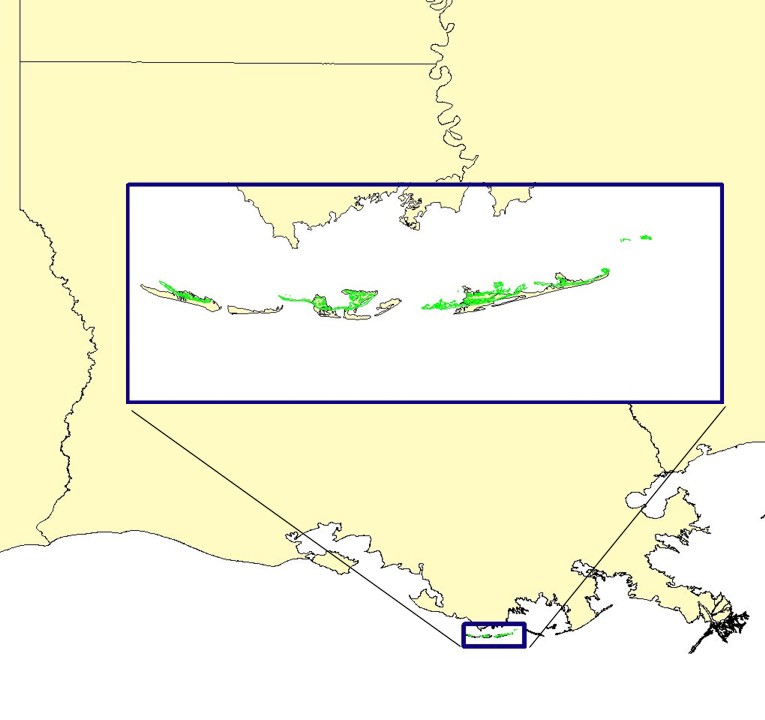
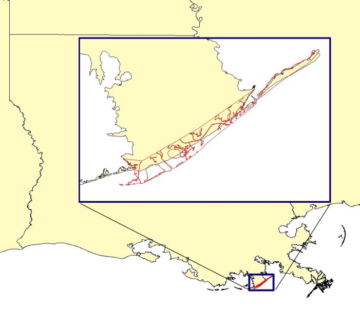
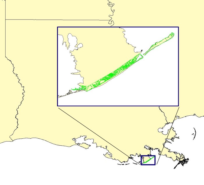
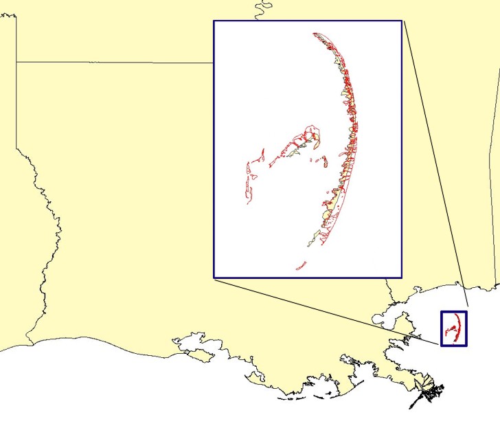
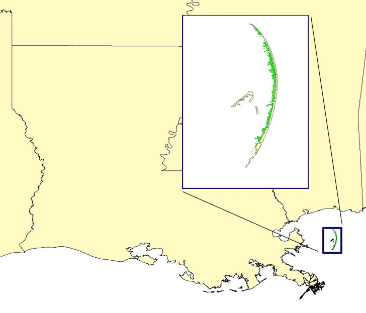
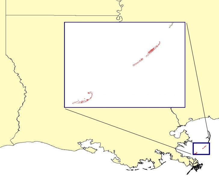
Coastal Change in LouisianaThese maps depicting historic shoreline change of the Louisiana coast, from U.S. Geological Survey Digital Data Series DDS-79 (Williams and others, 2003), Coastal Erosion and Wetland Change in Louisiana: Selected USGS Products ONLINE, are provided as additional information. The USGS, as the Nation's primary science organization, has conducted research, mapping studies and monitoring in Louisiana for many years. Three of the major studies undertaken were the Louisiana Barrier Island Erosion Study, a cooperative effort with the Louisiana Geological Survey that spanned 1986 to 1990. A second study, the Louisiana Wetland Loss Study, was done cooperatively with the USGS National Wetlands Research Center Lafayette and scientists at Louisiana State University. The third and most recent study involved University of New Orleans scientists and was focused on the geologic framework and processes of the Lake Pontchartrain basin. Additional studies by the USGS and partners are continuing to map shoreline and wetland change, investigate subsidence processes responsible for the high rates of relative sea-level rise across the south Louisiana region, and assess offshore sand resources.
|
Main Menus
OFR 2006-1195 Home | Introduction | Nomenclature | Coastal Change | Browse Maps | Data Catalog | Data Dictionary | References | Related Web Sites | Acknowledgments | Contacts | Coastal Change | For Educators | Disclaimer | README
Sub-Menus
Coastal Change |

![]() U.S. Department of the Interior |
U.S. Geological Survey
U.S. Department of the Interior |
U.S. Geological Survey
URL: http://pubsdata.usgs.gov/pubs/of/2006/1195/htmldocs/coastalchange.htm
Page Contact Information: Publishing Services
Page Last Modified: Saturday, 12-Jan-2013 22:32:27 EST