U.S. Geological Survey Open-File Report 2007-1311
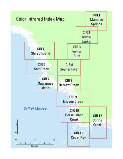
This directory contains Color Infrared Imagery for study area: 12 CIR images at 0.75-m resolution; two mosaic CIR images at 3-m resolution:3-band CIR and single layer black-and-white. To access the data from this DVD, download the files to your computer.

![]() U.S. Department of the Interior |
U.S. Geological Survey
U.S. Department of the Interior |
U.S. Geological Survey
URL:http://pubsdata.usgs.gov/pubs/of/2007/1311/html/CIR.html
Page Contact Information: Web team
Page Last Modified:Wednesday, 07-Dec-2016 20:29:13 EST