U.S. Geological Survey Open-File Report 2008-1196
Enhanced Sidescan-Sonar Imagery Offshore of Southeastern Massachusetts
![]() Title | Introduction | Methods | Sidescan-Sonar Imagery | Data Catalog | Acknowledgments | References | Figures | Contacts
Title | Introduction | Methods | Sidescan-Sonar Imagery | Data Catalog | Acknowledgments | References | Figures | Contacts
 |
||
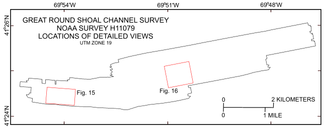
Figure 14. Map showing the boundary of the sidescan-sonar data from National Oceanic and Atmospheric Administration survey H11079 of Great Round Shoal Channel and the locations of the detailed views of the mosaics shown in figures 15 and 16. | ||

![]() U.S. Department of the Interior |
U.S. Geological Survey
U.S. Department of the Interior |
U.S. Geological Survey
URL: http://pubsdata.usgs.gov/pubs/of/2008/1196/html/fig14.html
Page Contact Information: GS Pubs Web Contact
Page Last Modified: Wednesday, 07-Dec-2016 21:37:01 EST


