U.S. Geological Survey Open-File Report 2009-1072
Geophysical and Sampling Data from the Inner Continental Shelf: Duxbury to Hull, Massachusetts
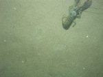
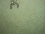
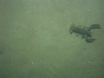
Click on an image below for a higher resolution image.
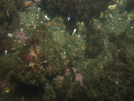
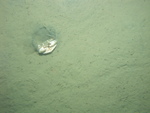
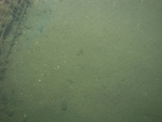
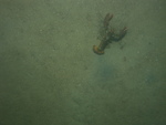
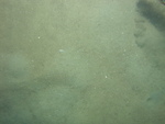
 dl3_PICT0130.JPG Station # 105 Lat 42.180014 Long -70.664006 Time(UTC) 05:26:38 |
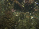
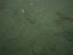
 dl3_PICT0131.JPG Station # 105 Lat 42.1801 Long -70.66401 Time(UTC) 05:27:46 |
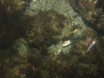
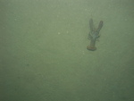
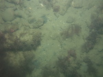
 dl3_PICT0132.JPG Station # 105 Lat 42.180242 Long -70.663978 Time(UTC) 05:29:32 |
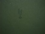
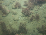
 dl3_PICT0133.JPG Station # 105 Lat 42.180322 Long -70.663967 Time(UTC) 05:30:28 |
 dl3_PICT0134.JPG Station # 105 Lat 42.180415 Long -70.663952 Time(UTC) 05:31:37 |
|||
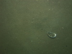
 dl3_PICT0135.JPG Station # 105 Lat 42.18051 Long -70.663946 Time(UTC) 05:32:45 |
 dl3_PICT0136.JPG Station # 105 Lat 42.180589 Long -70.663951 Time(UTC) 05:33:28 |
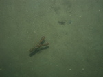
 dl3_PICT0137.JPG Station # 105 Lat 42.180704 Long -70.663951 Time(UTC) 05:34:49 |
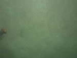
 dl3_PICT0138.JPG Station # 106 Lat 42.182033 Long -70.673154 Time(UTC) 05:47:17 |
 dl3_PICT0139.JPG Station # 106 Lat 42.182087 Long -70.673171 Time(UTC) 05:48:04 |
|||
 dl3_PICT0140.JPG Station # 106 Lat 42.182133 Long -70.673167 Time(UTC) 05:48:32 |
 dl3_PICT0141.JPG Station # 106 Lat 42.182196 Long -70.673159 Time(UTC) 05:49:09 |
 dl3_PICT0142.JPG Station # 106 Lat 42.18231 Long -70.67314 Time(UTC) 05:50:15 |
 dl3_PICT0143.JPG Station # 106 Lat 42.182438 Long -70.673075 Time(UTC) 05:51:24 |
 dl3_PICT0144.JPG Station # 106 Lat 42.182519 Long -70.673014 Time(UTC) 05:52:11 |
|||
 dl3_PICT0145.JPG Station # 107 Lat 42.189728 Long -70.672578 Time(UTC) 06:01:57 |
 dl3_PICT0146.JPG Station # 107 Lat 42.189902 Long -70.672564 Time(UTC) 06:03:01 |
 dl3_PICT0147.JPG Station # 107 Lat 42.190156 Long -70.672553 Time(UTC) 06:04:27 |
 dl3_PICT0148.JPG Station # 107 Lat 42.19023 Long -70.672547 Time(UTC) 06:04:51 |
 dl3_PICT0149.JPG Station # 107 Lat 42.19034 Long -70.672548 Time(UTC) 06:05:26 |
|||
 dl3_PICT0150.JPG Station # 107 Lat 42.190441 Long -70.672532 Time(UTC) 06:05:55 |
 dl3_PICT0151.JPG Station # 107 Lat 42.190668 Long -70.672529 Time(UTC) 06:07:05 |
 dl3_PICT0152.JPG Station # 107 Lat 42.190716 Long -70.672528 Time(UTC) 06:07:20 |
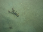
 dl3_PICT0153.JPG Station # 108 Lat 42.184276 Long -70.704475 Time(UTC) 06:27:07 |
 dl3_PICT0154.JPG Station # 108 Lat 42.184408 Long -70.704326 Time(UTC) 06:27:40 |
|||
 dl3_PICT0155.JPG Station # 108 Lat 42.184448 Long -70.704244 Time(UTC) 06:28:02 |
 dl3_PICT0156.JPG Station # 108 Lat 42.184492 Long -70.704184 Time(UTC) 06:28:16 |
 dl3_PICT0157.JPG Station # 108 Lat 42.184555 Long -70.704083 Time(UTC) 06:28:38 |
 dl3_PICT0158.JPG Station # 108 Lat 42.184639 Long -70.70394 Time(UTC) 06:29:09 |
 dl3_PICT0159.JPG Station # 108 Lat 42.184689 Long -70.703859 Time(UTC) 06:29:26 |
|||
 dl3_PICT0160.JPG Station # 108 Lat 42.184821 Long -70.703641 Time(UTC) 06:30:19 |
 dl3_PICT0161.JPG Station # 108 Lat 42.184952 Long -70.703421 Time(UTC) 06:31:05 |
 dl3_PICT0163.JPG Station # 109 Lat 42.19325 Long -70.707756 Time(UTC) 07:03:51 |
 dl3_PICT0164.JPG Station # 109 Lat 42.193266 Long -70.707684 Time(UTC) 07:04:12 |
 dl3_PICT0165.JPG Station # 109 Lat 42.193296 Long -70.707544 Time(UTC) 07:04:48 |
|||
 dl3_PICT0166.JPG Station # 109 Lat 42.193358 Long -70.707352 Time(UTC) 07:05:34 |
 dl3_PICT0167.JPG Station # 109 Lat 42.193386 Long -70.707289 Time(UTC) 07:05:49 |
 dl3_PICT0168.JPG Station # 109 Lat 42.193443 Long -70.707174 Time(UTC) 07:06:15 |
 dl3_PICT0169.JPG Station # 109 Lat 42.19347 Long -70.707116 Time(UTC) 07:06:28 |
 dl3_PICT0170.JPG Station # 109 Lat 42.193524 Long -70.706999 Time(UTC) 07:06:56 |
|||
 dl3_PICT0171.JPG Station # 109 Lat 42.193592 Long -70.706874 Time(UTC) 07:07:27 |
 dl3_PICT0172.JPG Station # 109 Lat 42.193624 Long -70.706822 Time(UTC) 07:07:40 |
 dl3_PICT0173.JPG Station # 109 Lat 42.193704 Long -70.706659 Time(UTC) 07:08:19 |
 dl3_PICT0174.JPG Station # 109 Lat 42.193739 Long -70.706577 Time(UTC) 07:08:38 |
 dl3_PICT0175.JPG Station # 109 Lat 42.193839 Long -70.706366 Time(UTC) 07:09:27 |
|||


