Geophysical and Sampling Data from the Inner Continental Shelf: Duxbury to Hull, Massachusetts
Click on an image below for a higher resolution image.
|
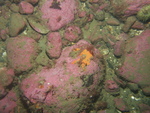
dl3_PICT0219.JPG
Station # 114
Lat 42.198726
Long -70.613541
Time(UTC) 08:50:54
|
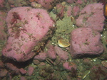
dl3_PICT0220.JPG
Station # 114
Lat 42.198726
Long -70.613356
Time(UTC) 08:52:02
|
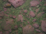
dl3_PICT0221.JPG
Station # 114
Lat 42.198722
Long -70.613209
Time(UTC) 08:52:57
|
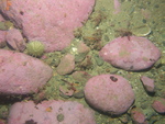
dl3_PICT0222.JPG
Station # 114
Lat 42.198705
Long -70.613101
Time(UTC) 08:53:49
|
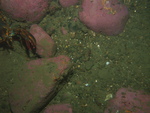
dl3_PICT0223.JPG
Station # 114
Lat 42.198701
Long -70.613066
Time(UTC) 08:54:03
|
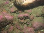
dl3_PICT0224.JPG
Station # 114
Lat 42.19869
Long -70.612972
Time(UTC) 08:54:51
|
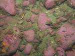
dl3_PICT0225.JPG
Station # 114
Lat 42.198691
Long -70.612899
Time(UTC) 08:55:25
|
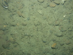
dl3_PICT0226.JPG
Station # 115
Lat 42.214006
Long -70.616611
Time(UTC) 09:09:25
|
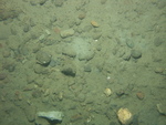
dl3_PICT0227.JPG
Station # 115
Lat 42.213971
Long -70.616481
Time(UTC) 09:10:38
|
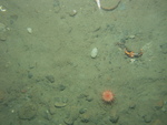
dl3_PICT0228.JPG
Station # 115
Lat 42.213982
Long -70.616428
Time(UTC) 09:11:08
|
dl3_PICT0229.JPG
Station # 115
Lat 42.214013
Long -70.616339
Time(UTC) 09:12:18
|
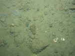
dl3_PICT0230.JPG
Station # 115
Lat 42.21404
Long -70.616254
Time(UTC) 09:13:05
|
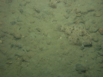
dl3_PICT0231.JPG
Station # 115
Lat 42.214047
Long -70.616211
Time(UTC) 09:13:21
|
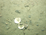
dl3_PICT0232.JPG
Station # 115
Lat 42.214062
Long -70.616074
Time(UTC) 09:14:18
|
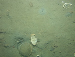
dl3_PICT0233.JPG
Station # 115
Lat 42.214065
Long -70.616039
Time(UTC) 09:14:42
|
dl3_PICT0234.JPG
Station # 115
Lat 42.214084
Long -70.615865
Time(UTC) 09:15:37
|
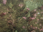
dl3_PICT0235.JPG
Station # 116
Lat 42.210209
Long -70.635845
Time(UTC) 10:59:22
|
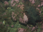
dl3_PICT0236.JPG
Station # 116
Lat 42.210114
Long -70.63576
Time(UTC) 11:00:38
|
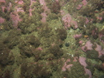
dl3_PICT0237.JPG
Station # 116
Lat 42.209969
Long -70.635714
Time(UTC) 11:02:03
|
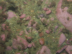
dl3_PICT0238.JPG
Station # 116
Lat 42.209838
Long -70.635644
Time(UTC) 11:04:12
|
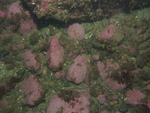
dl3_PICT0239.JPG
Station # 116
Lat 42.20981
Long -70.635572
Time(UTC) 11:04:59
|
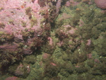
dl3_PICT0240.JPG
Station # 116
Lat 42.209796
Long -70.635525
Time(UTC) 11:05:29
|
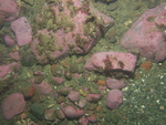
dl3_PICT0241.JPG
Station # 117
Lat 42.216946
Long -70.652503
Time(UTC) 11:21:05
|
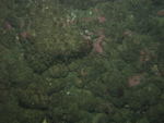
dl3_PICT0242.JPG
Station # 117
Lat 42.216734
Long -70.652725
Time(UTC) 11:22:46
|
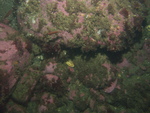
dl3_PICT0243.JPG
Station # 117
Lat 42.216681
Long -70.65278
Time(UTC) 11:23:24
|
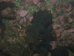
dl3_PICT0244.JPG
Station # 117
Lat 42.216603
Long -70.652838
Time(UTC) 11:23:58
|
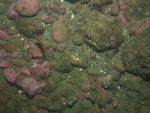
dl3_PICT0245.JPG
Station # 117
Lat 42.216484
Long -70.65292
Time(UTC) 11:24:49
|
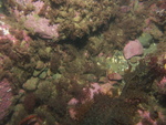
dl3_PICT0246.JPG
Station # 117
Lat 42.216415
Long -70.652969
Time(UTC) 11:25:21
|
|
|
|