U.S. Geological Survey Open-File Report 2009-1072
Geophysical and Sampling Data from the Inner Continental Shelf: Duxbury to Hull, Massachusetts
Click on an image below for a higher resolution image.
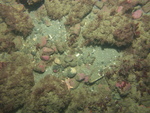
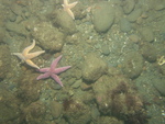
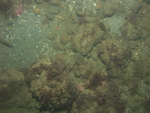
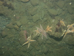
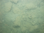
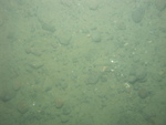
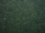
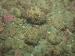 dl3_PICT0247.JPG Station # 118 Lat 42.209035 Long -70.679415 Time(UTC) 11:40:40 |
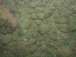
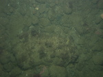
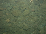
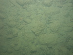
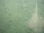
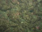
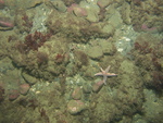 dl3_PICT0248.JPG Station # 118 Lat 42.20901 Long -70.679422 Time(UTC) 11:41:23 |
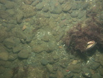
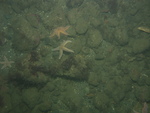
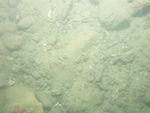
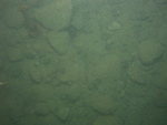
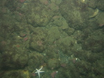
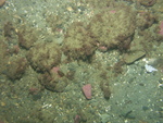 dl3_PICT0249.JPG Station # 118 Lat 42.209011 Long -70.679388 Time(UTC) 11:43:00 |
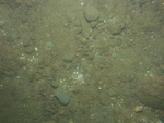
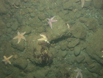
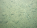
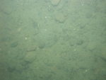
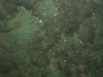
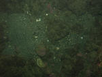
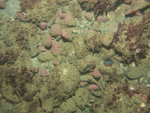 dl3_PICT0250.JPG Station # 118 Lat 42.209006 Long -70.679311 Time(UTC) 11:44:51 |
 dl3_PICT0251.JPG Station # 118 Lat 42.20901 Long -70.679289 Time(UTC) 11:45:48 |
|||
 dl3_PICT0252.JPG Station # 119 Lat 42.205852 Long -70.695557 Time(UTC) 12:00:57 |
 dl3_PICT0253.JPG Station # 119 Lat 42.205841 Long -70.695569 Time(UTC) 12:01:39 |
 dl3_PICT0254.JPG Station # 119 Lat 42.20555 Long -70.69537 Time(UTC) 12:03:48 |
 dl3_PICT0255.JPG Station # 119 Lat 42.205451 Long -70.695317 Time(UTC) 12:04:20 |
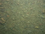 dl3_PICT0256.JPG Station # 119 Lat 42.205334 Long -70.695216 Time(UTC) 12:05:13 |
|||
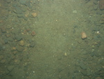 dl3_PICT0257.JPG Station # 119 Lat 42.205056 Long -70.695023 Time(UTC) 12:07:05 |
 dl3_PICT0258.JPG Station # 119 Lat 42.204943 Long -70.69494 Time(UTC) 12:07:51 |
 dl3_PICT0259.JPG Station # 119 Lat 42.204807 Long -70.694834 Time(UTC) 12:08:51 |
 dl3_PICT0260.JPG Station # 119 Lat 42.204658 Long -70.694756 Time(UTC) 12:09:47 |
 dl3_PICT0261.JPG Station # 119 Lat 42.204562 Long -70.694692 Time(UTC) 12:10:28 |
|||
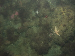
 dl3_PICT0262.JPG Station # 119 Lat 42.204502 Long -70.694656 Time(UTC) 12:10:50 |
 dl3_PICT0263.JPG Station # 119 Lat 42.204347 Long -70.694546 Time(UTC) 12:11:50 |
 dl3_PICT0264.JPG Station # 119 Lat 42.204232 Long -70.69446 Time(UTC) 12:12:38 |
 dl3_PICT0265.JPG Station # 119 Lat 42.204155 Long -70.694413 Time(UTC) 12:13:06 |
 dl3_PICT0267.JPG Station # 120 Lat 42.216175 Long -70.701554 Time(UTC) 00:04:45 |
|||
 dl3_PICT0268.JPG Station # 120 Lat 42.216181 Long -70.701689 Time(UTC) 00:05:28 |
 dl3_PICT0269.JPG Station # 120 Lat 42.216181 Long -70.701803 Time(UTC) 00:06:07 |
 dl3_PICT0270.JPG Station # 120 Lat 42.216176 Long -70.701841 Time(UTC) 00:06:26 |
 dl3_PICT0271.JPG Station # 120 Lat 42.216176 Long -70.701897 Time(UTC) 00:06:44 |
 dl3_PICT0272.JPG Station # 120 Lat 42.216155 Long -70.702033 Time(UTC) 00:07:48 |
|||
 dl3_PICT0273.JPG Station # 120 Lat 42.216112 Long -70.70213 Time(UTC) 00:08:38 |
 dl3_PICT0274.JPG Station # 120 Lat 42.216095 Long -70.702177 Time(UTC) 00:09:05 |
 dl3_PICT0275.JPG Station # 120 Lat 42.216054 Long -70.702247 Time(UTC) 00:09:38 |
 dl3_PICT0276.JPG Station # 121 Lat 42.218889 Long -70.679874 Time(UTC) 00:30:10 |
 dl3_PICT0277.JPG Station # 121 Lat 42.21881 Long -70.67991 Time(UTC) 00:30:38 |
|||
 dl3_PICT0278.JPG Station # 121 Lat 42.218688 Long -70.679994 Time(UTC) 00:31:23 |
 dl3_PICT0279.JPG Station # 121 Lat 42.218615 Long -70.680114 Time(UTC) 00:32:02 |
 dl3_PICT0280.JPG Station # 121 Lat 42.218579 Long -70.680154 Time(UTC) 00:32:17 |
|||||


