U.S. Geological Survey Open-File Report 2009-1150
Surficial Geology of the Floor of Lake Mead (Arizona and Nevada) as Defined by Sidescan-Sonar Imagery, Lake-Floor Topography, and Post-Impoundment Sediment Thickness
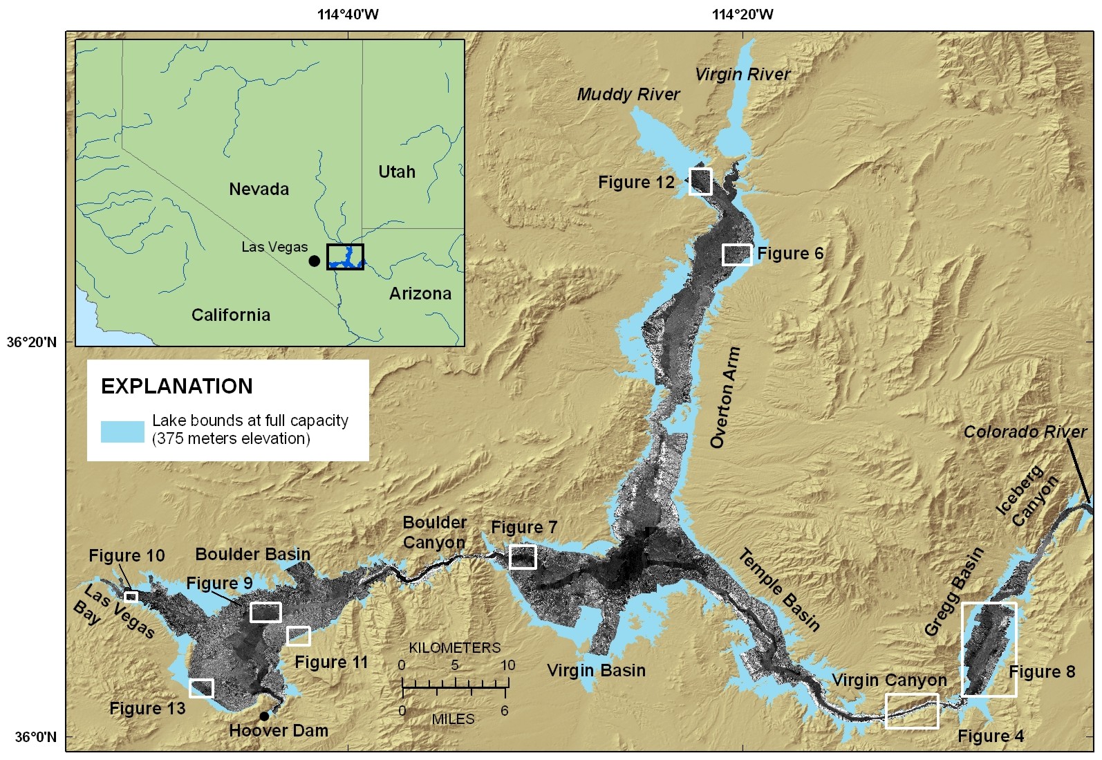 |
| Figure 1. Location map showing the names of features referred to in the text, the bounds of the lake at full capacity, and the sidescan-sonar coverage. White boxes indicate other figure locations. Areas of low acoustic backscatter show as dark tones and areas of high acoustic backscatter show as light tones on the grayscale sidescan-sonar imagery. Click on figure for larger image. |

![]() U.S. Department of the Interior |
U.S. Geological Survey
U.S. Department of the Interior |
U.S. Geological Survey
URL: https://pubsdata.usgs.gov/pubs/of/2009/1150/html/figurepages/fig1.html
Page Contact Information: Contact USGS
Page Last Modified: Wednesday, 07-Dec-2016 22:18:36 EST
