U.S. Geological Survey Open-File Report 2009–1231
Integrated Multibeam and LIDAR Bathymetry Data Offshore of New London and Niantic, Connecticut
 |
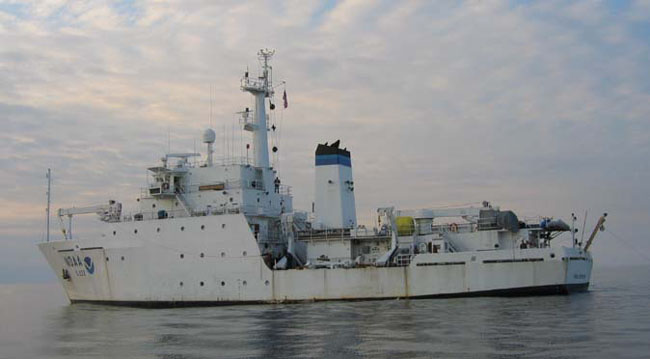
Figure 4. Port-side view of the National Oceanic and Atmospheric Administration Ship Thomas Jefferson at sea. Note that the 8.5–m survey launch normally stowed on this side of the ship has been deployed. |