U.S. Geological Survey Open-File Report 2009–1231
Integrated Multibeam and LIDAR Bathymetry Data Offshore of New London and Niantic, Connecticut
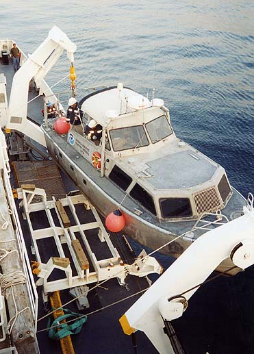 |
Figure 5. Image showing National Oceanic and Atmospheric Administration (NOAA) Launch 1014 being deployed from the NOAA Ship Thomas Jefferson. |

![]() U.S. Department of the Interior |
U.S. Geological Survey
U.S. Department of the Interior |
U.S. Geological Survey
URL: https://pubsdata.usgs.gov/pubs/of/2009/1231/html/fig5.html
Page Contact Information: Contact USGS
Page Last Modified: Wednesday, 07-Dec-2016 22:25:03 EST


