Geophysical and Sampling Data from the Inner Continental Shelf: Northern Cape Cod Bay, Massachusetts
Click on an image below for a higher resolution image.
|
dl1_PICT0094.JPG
Station # 11
Lat 41.990355
Long -70.547652
Time(UTC) 17:39:17
|
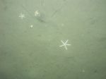
dl1_PICT0095.JPG
Station # 11
Lat 41.990476
Long -70.547526
Time(UTC) 17:39:53
|
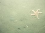
dl1_PICT0096.JPG
Station # 11
Lat 41.990565
Long -70.547444
Time(UTC) 17:40:19
|
dl1_PICT0097.JPG
Station # 11
Lat 41.990769
Long -70.547267
Time(UTC) 17:41:20
|
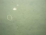
dl1_PICT0098.JPG
Station # 11
Lat 41.990861
Long -70.547204
Time(UTC) 17:41:46
|
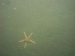
dl1_PICT0099.JPG
Station # 11
Lat 41.990928
Long -70.547165
Time(UTC) 17:42:03
|
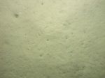
dl1_PICT0100.JPG
Station # 11
Lat 41.990991
Long -70.547123
Time(UTC) 17:42:22
|

dl1_PICT0101.JPG
Station # 12
Lat 42.003290
Long -70.537996
Time(UTC) 17:56:20
|
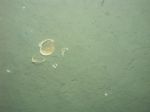
dl1_PICT0102.JPG
Station # 12
Lat 42.003366
Long -70.537913
Time(UTC) 17:56:42
|
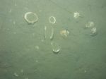
dl1_PICT0103.JPG
Station # 12
Lat 42.003426
Long -70.537855
Time(UTC) 17:57:00
|
dl1_PICT0104.JPG
Station # 12
Lat 42.003469
Long -70.537815
Time(UTC) 17:57:11
|
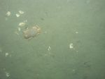
dl1_PICT0105.JPG
Station # 12
Lat 42.003571
Long -70.537735
Time(UTC) 17:57:40
|
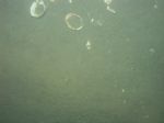
dl1_PICT0106.JPG
Station # 12
Lat 42.003739
Long -70.537637
Time(UTC) 17:58:29
|
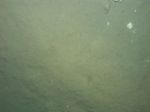
dl1_PICT0107.JPG
Station # 12
Lat 42.003987
Long -70.537504
Time(UTC) 17:59:40
|
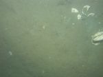
dl1_PICT0108.JPG
Station # 12
Lat 42.004201
Long -70.537364
Time(UTC) 18:00:39
|
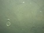
dl1_PICT0109.JPG
Station # 12
Lat 42.004311
Long -70.537282
Time(UTC) 18:01:09
|
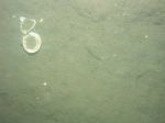
dl1_PICT0110.JPG
Station # 12
Lat 42.004414
Long -70.537214
Time(UTC) 18:01:37
|
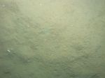
dl1_PICT0111.JPG
Station # 12
Lat 42.004516
Long -70.537141
Time(UTC) 18:02:04
|
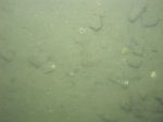
dl1_PICT0112.JPG
Station # 13
Lat 41.997267
Long -70.513256
Time(UTC) 18:18:20
|
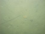
dl1_PICT0113.JPG
Station # 13
Lat 41.997219
Long -70.513240
Time(UTC) 18:18:39
|
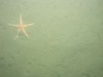
dl1_PICT0114.JPG
Station # 13
Lat 41.997167
Long -70.513232
Time(UTC) 18:19:03
|
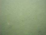
dl1_PICT0115.JPG
Station # 13
Lat 41.997047
Long -70.513242
Time(UTC) 18:19:46
|
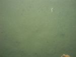
dl1_PICT0116.JPG
Station # 13
Lat 41.996948
Long -70.513265
Time(UTC) 18:20:07
|
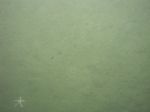
dl1_PICT0117.JPG
Station # 13
Lat 41.996752
Long -70.513295
Time(UTC) 18:20:52
|
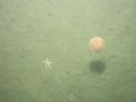
dl1_PICT0118.JPG
Station # 13
Lat 41.996674
Long -70.513339
Time(UTC) 18:21:24
|
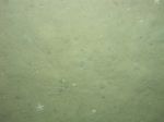
dl1_PICT0119.JPG
Station # 13
Lat 41.996477
Long -70.513380
Time(UTC) 18:22:41
|
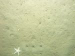
dl1_PICT0120.JPG
Station # 13
Lat 41.996460
Long -70.513377
Time(UTC) 18:23:56
|
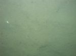
dl1_PICT0121.JPG
Station # 14
Lat 41.991503
Long -70.506134
Time(UTC) 18:36:20
|
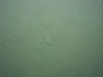
dl1_PICT0122.JPG
Station # 14
Lat 41.991380
Long -70.505886
Time(UTC) 18:37:54
|

dl1_PICT0123.JPG
Station # 14
Lat 41.991258
Long -70.505383
Time(UTC) 18:40:13
|
dl1_PICT0124.JPG
Station # 14
Lat 41.991206
Long -70.505233
Time(UTC) 18:40:59
|
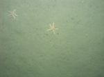
dl1_PICT0125.JPG
Station # 14
Lat 41.991138
Long -70.505039
Time(UTC) 18:41:56
|
dl1_PICT0126.JPG
Station # 14
Lat 41.991046
Long -70.504654
Time(UTC) 18:43:35
|
dl1_PICT0127.JPG
Station # 14
Lat 41.990973
Long -70.504392
Time(UTC) 18:44:53
|
dl1_PICT0128.JPG
Station # 14
Lat 41.990955
Long -70.504324
Time(UTC) 18:45:12
|
dl1_PICT0129.JPG
Station # 15
Lat 41.984929
Long -70.502127
Time(UTC) 18:57:14
|
dl1_PICT0130.JPG
Station # 15
Lat 41.985331
Long -70.501852
Time(UTC) 18:59:39
|
dl1_PICT0131.JPG
Station # 15
Lat 41.985405
Long -70.501828
Time(UTC) 19:00:02
|
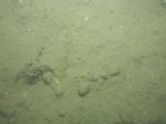
dl1_PICT0133.JPG
Station # 15
Lat 41.985517
Long -70.501802
Time(UTC) 19:00:36
|
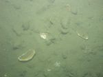
dl1_PICT0134.JPG
Station # 15
Lat 41.985616
Long -70.501779
Time(UTC) 19:01:05
|
dl1_PICT0135.JPG
Station # 15
Lat 41.985729
Long -70.501756
Time(UTC) 19:01:38
|
dl1_PICT0136.JPG
Station # 15
Lat 41.985902
Long -70.501734
Time(UTC) 19:02:32
|
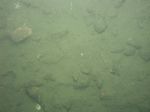
dl1_PICT0137.JPG
Station # 15
Lat 41.986026
Long -70.501719
Time(UTC) 19:03:12
|
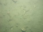
dl1_PICT0138.JPG
Station # 15
Lat 41.986120
Long -70.501701
Time(UTC) 19:03:41
|

dl1_PICT0139.JPG
Station # 15
Lat 41.986224
Long -70.501684
Time(UTC) 19:04:12
|
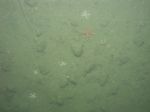
dl1_PICT0140.JPG
Station # 15
Lat 41.986352
Long -70.501660
Time(UTC) 19:04:48
|
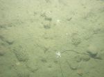
dl1_PICT0141.JPG
Station # 15
Lat 41.986463
Long -70.501633
Time(UTC) 19:05:21
|
|
|
|
|