U.S. Geological Survey Open-File Report 2010-1006
Geophysical and Sampling Data from the Inner Continental Shelf: Northern Cape Cod Bay, Massachusetts
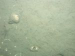
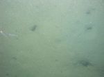
Click on an image below for a higher resolution image.
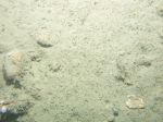
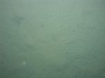
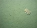
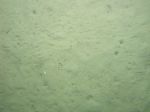
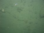
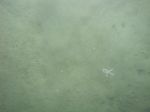 dl1_PICT0285.JPG Station # 31 Lat 42.055355 Long -70.475858 Time(UTC) 02:47:16 |
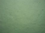
 dl1_PICT0286.JPG Station # 31 Lat 42.055414 Long -70.475965 Time(UTC) 02:48:46 |
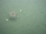
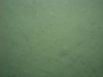
 dl1_PICT0287.JPG Station # 31 Lat 42.055425 Long -70.476330 Time(UTC) 02:50:20 |
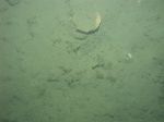
 dl1_PICT0288.JPG Station # 31 Lat 42.055476 Long -70.476503 Time(UTC) 02:51:26 |
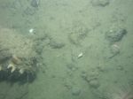
 dl1_PICT0289.JPG Station # 31 Lat 42.055461 Long -70.476785 Time(UTC) 02:52:28 |
|||
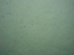
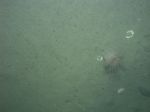
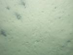
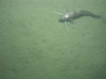
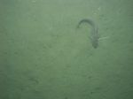
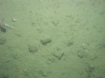
 dl1_PICT0290.JPG Station # 31 Lat 42.055545 Long -70.477108 Time(UTC) 02:53:44 |
 dl1_PICT0291.JPG Station # 31 Lat 42.055562 Long -70.477250 Time(UTC) 02:54:19 |
 dl1_PICT0292.JPG Station # 31 Lat 42.055554 Long -70.477517 Time(UTC) 02:55:28 |
 dl1_PICT0293.JPG Station # 31 Lat 42.055564 Long -70.477664 Time(UTC) 02:56:18 |
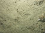 dl1_PICT0294.JPG Station # 31 Lat 42.055560 Long -70.477703 Time(UTC) 02:56:29 |
|||
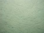
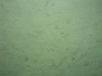
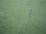
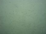 dl1_PICT0295.JPG Station # 32 Lat 42.055718 Long -70.492474 Time(UTC) 03:14:22 |
 dl1_PICT0296.JPG Station # 32 Lat 42.055715 Long -70.492481 Time(UTC) 03:14:46 |
 dl1_PICT0297.JPG Station # 32 Lat 42.055825 Long -70.492479 Time(UTC) 03:16:29 |
 dl1_PICT0298.JPG Station # 32 Lat 42.055893 Long -70.492485 Time(UTC) 03:16:54 |
 dl1_PICT0299.JPG Station # 32 Lat 42.056047 Long -70.492501 Time(UTC) 03:17:54 |
|||
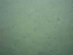
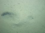
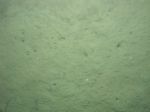
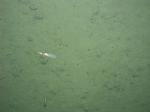
 dl1_PICT0300.JPG Station # 32 Lat 42.056242 Long -70.492515 Time(UTC) 03:18:57 |
 dl1_PICT0301.JPG Station # 32 Lat 42.056370 Long -70.492532 Time(UTC) 03:19:40 |
 dl1_PICT0302.JPG Station # 33 Lat 42.061299 Long -70.507497 Time(UTC) 03:35:38 |
 dl1_PICT0303.JPG Station # 33 Lat 42.061355 Long -70.507425 Time(UTC) 03:37:02 |
 dl1_PICT0304.JPG Station # 33 Lat 42.061471 Long -70.507117 Time(UTC) 03:37:55 |
|||
 dl1_PICT0305.JPG Station # 33 Lat 42.061651 Long -70.506797 Time(UTC) 03:38:47 |
 dl1_PICT0306.JPG Station # 33 Lat 42.062285 Long -70.505991 Time(UTC) 03:41:27 |
 dl2_PICT0002.JPG Station # 34 Lat 42.046116 Long -70.523070 Time(UTC) 04:54:41 |
 dl2_PICT0003.JPG Station # 34 Lat 42.046111 Long -70.522837 Time(UTC) 04:55:40 |
 dl2_PICT0004.JPG Station # 34 Lat 42.046102 Long -70.522745 Time(UTC) 04:56:04 |
|||
 dl2_PICT0005.JPG Station # 34 Lat 42.046076 Long -70.522543 Time(UTC) 04:57:03 |
 dl2_PICT0006.JPG Station # 34 Lat 42.046070 Long -70.522460 Time(UTC) 04:57:26 |
 dl2_PICT0007.JPG Station # 34 Lat 42.046057 Long -70.522330 Time(UTC) 04:58:00 |
 dl2_PICT0008.JPG Station # 35 Lat 42.046188 Long -70.521764 Time(UTC) 05:08:22 |
 dl2_PICT0009.JPG Station # 35 Lat 42.046171 Long -70.521662 Time(UTC) 05:09:51 |
|||
 dl2_PICT0010.JPG Station # 35 Lat 42.046098 Long -70.521384 Time(UTC) 05:11:02 |
 dl2_PICT0011.JPG Station # 35 Lat 42.046054 Long -70.521271 Time(UTC) 05:11:29 |
 dl2_PICT0012.JPG Station # 35 Lat 42.046035 Long -70.521179 Time(UTC) 05:11:48 |
 dl2_PICT0013.JPG Station # 35 Lat 42.045959 Long -70.520757 Time(UTC) 05:13:48 |
 dl2_PICT0014.JPG Station # 35 Lat 42.045924 Long -70.520734 Time(UTC) 05:14:18 |
|||
 dl2_PICT0015.JPG Station # 35 Lat 42.045895 Long -70.520690 Time(UTC) 05:14:50 |
 dl2_PICT0016.JPG Station # 35 Lat 42.045871 Long -70.520554 Time(UTC) 05:15:39 |
||||||


