U.S. Geological Survey Open-File Report 2010-1006
Geophysical and Sampling Data from the Inner Continental Shelf: Northern Cape Cod Bay, Massachusetts
Click on an image below for a higher resolution image.
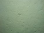
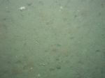
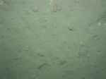
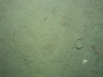
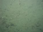 dl2_PICT0071.JPG Station # 61 Lat 42.060716 Long -70.552581 Time(UTC) 11:58:57 |
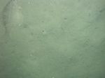
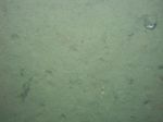
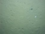
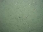 dl2_PICT0072.JPG Station # 61 Lat 42.060694 Long -70.552595 Time(UTC) 12:00:48 |
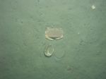
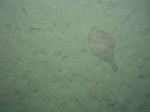
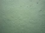
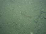 dl2_PICT0073.JPG Station # 61 Lat 42.060705 Long -70.552577 Time(UTC) 12:01:21 |
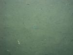
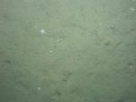
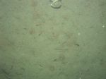
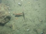 dl2_PICT0074.JPG Station # 61 Lat 42.060718 Long -70.552512 Time(UTC) 12:02:03 |
 dl2_PICT0075.JPG Station # 61 Lat 42.060732 Long -70.552459 Time(UTC) 12:02:27 |
|||
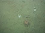
 dl2_PICT0076.JPG Station # 61 Lat 42.060811 Long -70.552283 Time(UTC) 12:03:27 |
 dl2_PICT0077.JPG Station # 61 Lat 42.060832 Long -70.552197 Time(UTC) 12:03:56 |
 dl2_PICT0078.JPG Station # 61 Lat 42.060882 Long -70.552071 Time(UTC) 12:04:38 |
 dl2_PICT0079.JPG Station # 61 Lat 42.060966 Long -70.551739 Time(UTC) 12:06:12 |
 dl2_PICT0080.JPG Station # 61 Lat 42.060995 Long -70.551580 Time(UTC) 12:06:51 |
|||
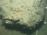
 dl2_PICT0081.JPG Station # 61 Lat 42.061041 Long -70.551341 Time(UTC) 12:07:51 |
 dl2_PICT0082.JPG Station # 61 Lat 42.061064 Long -70.551268 Time(UTC) 12:08:12 |
 dl2_PICT0083.JPG Station # 62 Lat 42.074282 Long -70.529220 Time(UTC) 12:33:02 |
 dl2_PICT0084.JPG Station # 62 Lat 42.074338 Long -70.529307 Time(UTC) 12:35:39 |
 dl2_PICT0085.JPG Station # 62 Lat 42.074458 Long -70.529387 Time(UTC) 12:36:20 |
|||
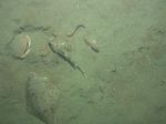
 dl2_PICT0086.JPG Station # 62 Lat 42.074646 Long -70.529518 Time(UTC) 12:37:19 |
 dl2_PICT0087.JPG Station # 62 Lat 42.074886 Long -70.529700 Time(UTC) 12:38:33 |
 dl2_PICT0088.JPG Station # 62 Lat 42.075167 Long -70.529911 Time(UTC) 12:40:04 |
 dl2_PICT0089.JPG Station # 62 Lat 42.075375 Long -70.530099 Time(UTC) 12:41:12 |
 dl2_PICT0090.JPG Station # 63 Lat 42.076929 Long -70.512814 Time(UTC) 13:02:48 |
|||
 dl2_PICT0091.JPG Station # 63 Lat 42.077082 Long -70.512915 Time(UTC) 13:04:13 |
 dl2_PICT0092.JPG Station # 63 Lat 42.077116 Long -70.512949 Time(UTC) 13:04:41 |
 dl2_PICT0093.JPG Station # 63 Lat 42.077127 Long -70.513008 Time(UTC) 13:06:40 |
 dl2_PICT0094.JPG Station # 63 Lat 42.077120 Long -70.513406 Time(UTC) 13:08:11 |
 dl2_PICT0095.JPG Station # 63 Lat 42.077188 Long -70.513984 Time(UTC) 13:10:04 |
|||
 dl2_PICT0096.JPG Station # 63 Lat 42.077191 Long -70.514297 Time(UTC) 13:11:07 |
 dl2_PICT0097.JPG Station # 63 Lat 42.077211 Long -70.514498 Time(UTC) 13:11:47 |
||||||


