U.S. Geological Survey Open-File Report 2010-1006
Geophysical and Sampling Data from the Inner Continental Shelf: Northern Cape Cod Bay, Massachusetts
Click on an image below for a higher resolution image.
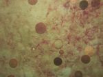
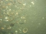
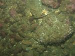 dl2_PICT0159.JPG Station # 71 Lat 42.079709 Long -70.578096 Time(UTC) 17:35:15 |
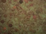
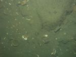
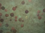 dl2_PICT0160.JPG Station # 72 Lat 42.081133 Long -70.579277 Time(UTC) 17:41:07 |
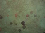 dl2_PICT0161.JPG Station # 72 Lat 42.081190 Long -70.579254 Time(UTC) 17:41:20 |
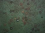 dl2_PICT0162.JPG Station # 72 Lat 42.081391 Long -70.579132 Time(UTC) 17:42:15 |
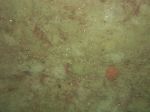
 dl2_PICT0163.JPG Station # 73 Lat 42.082086 Long -70.579682 Time(UTC) 17:49:21 |
|||
 dl2_PICT0164.JPG Station # 73 Lat 42.082150 Long -70.579629 Time(UTC) 17:49:36 |
 dl2_PICT0165.JPG Station # 73 Lat 42.082209 Long -70.579598 Time(UTC) 17:49:48 |
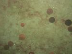
 dl2_PICT0166.JPG Station # 74 Lat 42.083486 Long -70.580482 Time(UTC) 17:56:31 |
 dl2_PICT0167.JPG Station # 74 Lat 42.083544 Long -70.580426 Time(UTC) 17:56:48 |
 dl2_PICT0168.JPG Station # 74 Lat 42.083604 Long -70.580369 Time(UTC) 17:57:04 |
|||
 dl2_PICT0169.JPG Station # 75 Lat 42.084226 Long -70.581683 Time(UTC) 18:05:21 |
 dl2_PICT0170.JPG Station # 75 Lat 42.084297 Long -70.581527 Time(UTC) 18:05:48 |
 dl2_PICT0171.JPG Station # 75 Lat 42.084351 Long -70.581436 Time(UTC) 18:06:04 |
 dl2_PICT0172.JPG Station # 75 Lat 42.084433 Long -70.581330 Time(UTC) 18:06:26 |
 dl2_PICT0173.JPG Station # 76 Lat 42.086545 Long -70.582246 Time(UTC) 18:13:53 |
|||
 dl2_PICT0174.JPG Station # 76 Lat 42.086602 Long -70.582166 Time(UTC) 18:14:09 |
 dl2_PICT0175.JPG Station # 76 Lat 42.086676 Long -70.582076 Time(UTC) 18:14:28 |
 dl2_PICT0176.JPG Station # 76 Lat 42.086761 Long -70.582016 Time(UTC) 18:14:46 |
|||||


