U.S. Geological Survey Open-File Report 2010-1006
Geophysical and Sampling Data from the Inner Continental Shelf: Northern Cape Cod Bay, Massachusetts
Click on an image below for a higher resolution image.
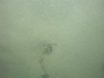
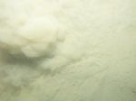
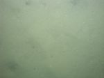
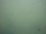 dl4_PICT0214.JPG Station # 161 Lat 42.020568 Long -70.350946 Time(UTC) 20:52:51 |
 dl4_PICT0215.JPG Station # 161 Lat 42.020602 Long -70.351013 Time(UTC) 20:53:09 |
 dl4_PICT0216.JPG Station # 161 Lat 42.020654 Long -70.351153 Time(UTC) 20:53:43 |
 dl4_PICT0217.JPG Station # 161 Lat 42.020691 Long -70.351426 Time(UTC) 20:55:07 |
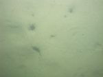
 dl4_PICT0218.JPG Station # 161 Lat 42.020705 Long -70.351566 Time(UTC) 20:55:53 |
|||
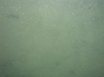
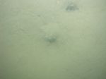
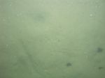
 dl4_PICT0219.JPG Station # 161 Lat 42.020715 Long -70.351719 Time(UTC) 20:56:41 |
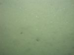
 dl4_PICT0220.JPG Station # 161 Lat 42.020721 Long -70.351959 Time(UTC) 20:57:58 |
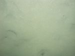
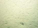
 dl4_PICT0221.JPG Station # 162 Lat 41.968212 Long -70.342299 Time(UTC) 21:25:00 |
 dl4_PICT0222.JPG Station # 162 Lat 41.968233 Long -70.342348 Time(UTC) 21:25:32 |
 dl4_PICT0223.JPG Station # 162 Lat 41.968195 Long -70.342368 Time(UTC) 21:26:55 |
|||
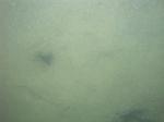
 dl4_PICT0224.JPG Station # 162 Lat 41.968119 Long -70.342341 Time(UTC) 21:27:58 |
 dl4_PICT0225.JPG Station # 162 Lat 41.968039 Long -70.342313 Time(UTC) 21:28:48 |
 dl4_PICT0226.JPG Station # 162 Lat 41.967972 Long -70.342290 Time(UTC) 21:29:31 |
 dl4_PICT0227.JPG Station # 162 Lat 41.967913 Long -70.342274 Time(UTC) 21:30:10 |
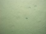 dl4_PICT0228.JPG Station # 163 Lat 41.975008 Long -70.406265 Time(UTC) 22:51:07 |
|||
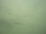 dl4_PICT0229.JPG Station # 163 Lat 41.974784 Long -70.406294 Time(UTC) 22:51:53 |
 dl4_PICT0230.JPG Station # 163 Lat 41.974615 Long -70.406326 Time(UTC) 22:52:40 |
 dl4_PICT0231.JPG Station # 163 Lat 41.974452 Long -70.406359 Time(UTC) 22:53:17 |
 dl4_PICT0232.JPG Station # 163 Lat 41.974160 Long -70.406417 Time(UTC) 22:54:27 |
 dl4_PICT0233.JPG Station # 163 Lat 41.973217 Long -70.406667 Time(UTC) 22:58:17 |
|||
 dl4_PICT0234.JPG Station # 164 Lat 42.018699 Long -70.413498 Time(UTC) 23:30:15 |
 dl4_PICT0235.JPG Station # 164 Lat 42.018629 Long -70.413543 Time(UTC) 23:30:36 |
 dl4_PICT0236.JPG Station # 164 Lat 42.018233 Long -70.413899 Time(UTC) 23:32:28 |
 dl4_PICT0237.JPG Station # 164 Lat 42.017977 Long -70.414096 Time(UTC) 23:33:34 |
 dl4_PICT0238.JPG Station # 164 Lat 42.017739 Long -70.414270 Time(UTC) 23:34:33 |
|||
 dl4_PICT0239.JPG Station # 164 Lat 42.017603 Long -70.414356 Time(UTC) 23:35:05 |
 dl4_PICT0240.JPG Station # 164 Lat 42.017383 Long -70.414497 Time(UTC) 23:35:58 |
 dl4_PICT0241.JPG Station # 165 Lat 42.033267 Long -70.453483 Time(UTC) 23:56:31 |
 dl4_PICT0242.JPG Station # 165 Lat 42.033158 Long -70.453617 Time(UTC) 23:56:59 |
 dl4_PICT0243.JPG Station # 165 Lat 42.032891 Long -70.453878 Time(UTC) 23:58:07 |
|||
 dl4_PICT0244.JPG Station # 165 Lat 42.032660 Long -70.454077 Time(UTC) 23:59:05 |
 dl4_PICT0245.JPG Station # 165 Lat 42.032333 Long -70.454360 Time(UTC) 00:00:27 |
 dl4_PICT0246.JPG Station # 165 Lat 42.032020 Long -70.454571 Time(UTC) 00:01:40 |
 dl4_PICT0247.JPG Station # 165 Lat 42.031885 Long -70.454662 Time(UTC) 00:02:12 |
||||


