U.S. Geological Survey Open-File Report 2010-1006
Geophysical and Sampling Data from the Inner Continental Shelf: Northern Cape Cod Bay, Massachusetts
Click on an image below for a higher resolution image.
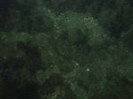
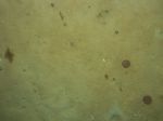
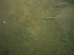
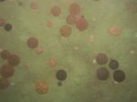
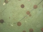 dl4_PICT0296.JPG Station # 171 Lat 41.991881 Long -70.577639 Time(UTC) 05:50:42 |
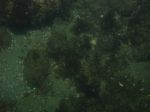
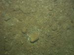
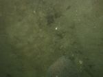
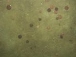
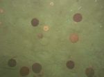
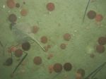 dl4_PICT0297.JPG Station # 171 Lat 41.991766 Long -70.577571 Time(UTC) 05:51:35 |
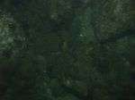
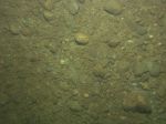
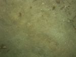
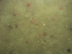
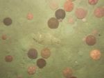
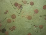 dl4_PICT0298.JPG Station # 171 Lat 41.991719 Long -70.577563 Time(UTC) 05:51:53 |
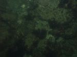
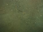
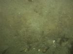
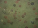
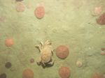
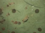 dl4_PICT0299.JPG Station # 171 Lat 41.991683 Long -70.577569 Time(UTC) 05:52:08 |
 dl4_PICT0300.JPG Station # 171 Lat 41.991601 Long -70.577574 Time(UTC) 05:52:51 |
|||
 dl4_PICT0301.JPG Station # 171 Lat 41.991517 Long -70.577598 Time(UTC) 05:53:22 |
 dl4_PICT0302.JPG Station # 171 Lat 41.991261 Long -70.577714 Time(UTC) 05:55:11 |
 dl4_PICT0303.JPG Station # 171 Lat 41.991191 Long -70.577744 Time(UTC) 05:55:37 |
 dl4_PICT0304.JPG Station # 172 Lat 42.018410 Long -70.603912 Time(UTC) 06:25:18 |
 dl4_PICT0305.JPG Station # 172 Lat 42.018233 Long -70.603882 Time(UTC) 06:26:11 |
|||
 dl4_PICT0306.JPG Station # 172 Lat 42.018152 Long -70.603820 Time(UTC) 06:26:40 |
 dl4_PICT0307.JPG Station # 172 Lat 42.018071 Long -70.603665 Time(UTC) 06:27:17 |
 dl4_PICT0308.JPG Station # 172 Lat 42.017886 Long -70.603547 Time(UTC) 06:28:11 |
 dl4_PICT0309.JPG Station # 172 Lat 42.017728 Long -70.603429 Time(UTC) 06:28:51 |
 dl4_PICT0310.JPG Station # 172 Lat 42.017709 Long -70.603395 Time(UTC) 06:29:06 |
|||
 dl4_PICT0311.JPG Station # 172 Lat 42.017652 Long -70.603392 Time(UTC) 06:29:21 |
 dl4_PICT0312.JPG Station # 172 Lat 42.017490 Long -70.603300 Time(UTC) 06:30:22 |
 dl4_PICT0313.JPG Station # 172 Lat 42.017306 Long -70.603211 Time(UTC) 06:31:08 |
 dl4_PICT0314.JPG Station # 172 Lat 42.017240 Long -70.603217 Time(UTC) 06:31:19 |
 dl4_PICT0315.JPG Station # 172 Lat 42.016927 Long -70.603220 Time(UTC) 06:32:23 |
|||
 dl4_PICT0316.JPG Station # 172 Lat 42.016878 Long -70.603190 Time(UTC) 06:32:41 |
 dl4_PICT0317.JPG Station # 172 Lat 42.016842 Long -70.603155 Time(UTC) 06:33:03 |
 dl4_PICT0318.JPG Station # 173A Lat 42.043488 Long -70.625786 Time(UTC) 07:07:14 |
 dl4_PICT0319.JPG Station # 173A Lat 42.043408 Long -70.625794 Time(UTC) 07:07:53 |
 dl4_PICT0320.JPG Station # 173A Lat 42.043303 Long -70.625815 Time(UTC) 07:08:28 |
|||
 dl4_PICT0321.JPG Station # 173A Lat 42.043028 Long -70.625836 Time(UTC) 07:09:34 |
 dl4_PICT0322.JPG Station # 173A Lat 42.042923 Long -70.625847 Time(UTC) 07:09:55 |
 dl4_PICT0323.JPG Station # 173A Lat 42.042791 Long -70.625874 Time(UTC) 07:10:24 |
 dl4_PICT0324.JPG Station # 173B Lat 42.042867 Long -70.625861 Time(UTC) 07:15:42 |
 dl4_PICT0325.JPG Station # 173B Lat 42.042824 Long -70.625863 Time(UTC) 07:16:15 |
|||
 dl4_PICT0326.JPG Station # 173B Lat 42.042757 Long -70.625875 Time(UTC) 07:16:37 |
 dl4_PICT0327.JPG Station # 173B Lat 42.042553 Long -70.625924 Time(UTC) 07:17:41 |
 dl4_PICT0328.JPG Station # 173B Lat 42.042332 Long -70.625946 Time(UTC) 07:19:01 |
 dl4_PICT0329.JPG Station # 173B Lat 42.042108 Long -70.625967 Time(UTC) 07:20:24 |
 dl4_PICT0330.JPG Station # 173B Lat 42.042017 Long -70.625966 Time(UTC) 07:20:58 |
|||
 dl4_PICT0331.JPG Station # 173B Lat 42.041951 Long -70.625963 Time(UTC) 07:21:24 |
 dl4_PICT0332.JPG Station # 173B Lat 42.041854 Long -70.625988 Time(UTC) 07:22:05 |
 dl4_PICT0333.JPG Station # 173B Lat 42.041736 Long -70.626006 Time(UTC) 07:22:34 |
 dl4_PICT0334.JPG Station # 173B Lat 42.041707 Long -70.626015 Time(UTC) 07:22:46 |
 dl4_PICT0335.JPG Station # 174 Lat 42.059550 Long -70.632647 Time(UTC) 07:41:26 |
|||
 dl4_PICT0336.JPG Station # 174 Lat 42.059448 Long -70.632711 Time(UTC) 07:42:29 |
 dl4_PICT0337.JPG Station # 174 Lat 42.059354 Long -70.632777 Time(UTC) 07:43:29 |
 dl4_PICT0338.JPG Station # 174 Lat 42.059116 Long -70.632887 Time(UTC) 07:45:47 |
 dl4_PICT0339.JPG Station # 174 Lat 42.059039 Long -70.632913 Time(UTC) 07:46:27 |
 dl4_PICT0340.JPG Station # 175 Lat 42.049937 Long -70.602787 Time(UTC) 08:07:51 |
|||
 dl4_PICT0341.JPG Station # 175 Lat 42.049887 Long -70.602903 Time(UTC) 08:09:04 |
 dl4_PICT0342.JPG Station # 175 Lat 42.049831 Long -70.603016 Time(UTC) 08:10:16 |
 dl4_PICT0343.JPG Station # 175 Lat 42.049757 Long -70.603185 Time(UTC) 08:11:50 |
 dl4_PICT0344.JPG Station # 175 Lat 42.049732 Long -70.603249 Time(UTC) 08:12:20 |
||||


