Skip past header information
USGS - science for a changing world

U.S. Geological Survey Open-File Report 2010-1332


Title | Introduction | Methods | Aleutian Arc | Atlantic Coast | Bering Sea | Cayman Trough |
Gulf of Alaska | Gulf of Mexico | Hawaii I | Hawaii II | Hawaii III | Johnston Atoll | Kingman Palmyra |
Pacific Coast | Puerto Rico | Data Catalog | References | List of Figures | Contacts


GLORIA 6-hour pass raw data.

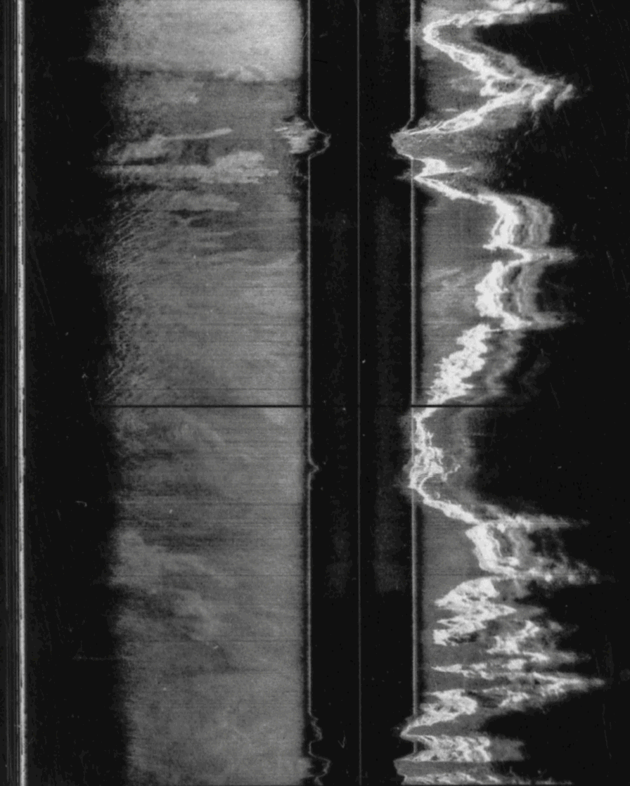
Figure 8. Example of a raw GLORIA data file. Each line of this 6-hour-long GLORIA pass contains a 30-second swath, 924 pixels wide, and 720 lines in length. The first 32 bytes of each line is the swath header information and contains the date, time, and position of the swath and depth. The image illustrates the water-column offset produced by the distance the sonar vehicle is towed above the seafloor (Twichell, 1988).

Skip USGS links group

Accessibility FOIA Privacy Policies and Notices

Take Pride in America logo USAGov logo U.S. Department of the Interior | U.S. Geological Survey
End of USGS links group