U.S. Geological Survey Open-File Report 2010-1332
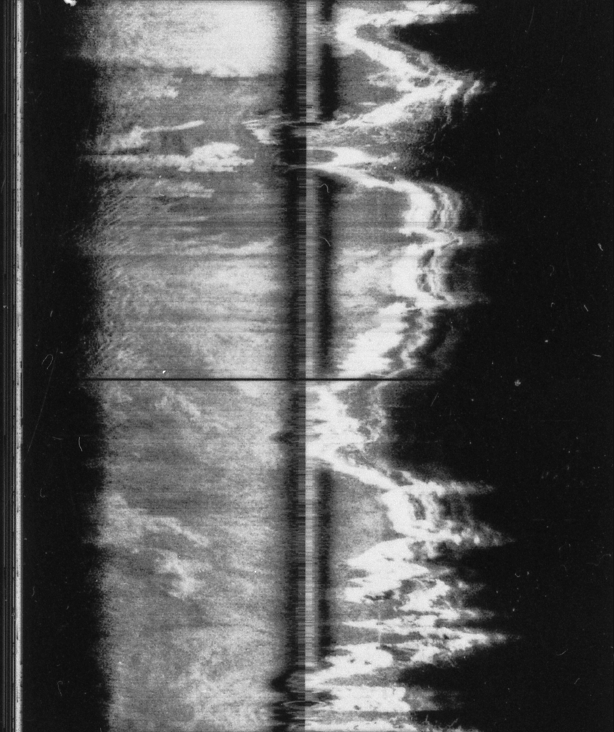
Figure 9. Slant-range corrected 6-hour-long GLORIA pass. This processing step corrects slant-range to ground-range and removes the water-column gap in the image. The water-column offset is the distance the sonar vehicle is above the seafloor. Slant-range error is mislocation of pixels in the across-track direction compared to their proper location on a map because the sensor is measuring range distance from a point above the seafloor rather than horizontal distances to the seafloor. After the slant-range correction has been made, the across-track location of targets is accurate (Twichell, 1988). |