Skip past header information
USGS - science for a changing world

U.S. Geological Survey Open-File Report 2010-1332


Title | Introduction | Methods | Aleutian Arc | Atlantic Coast | Bering Sea | Cayman Trough |
Gulf of Alaska | Gulf of Mexico | Hawaii I | Hawaii II | Hawaii III | Johnston Atoll | Kingman Palmyra |
Pacific Coast | Puerto Rico | Data Catalog | References | List of Figures | Contacts


Map showing field activities for GLORIA sidescan-sonar data collection in the Cayman Trough area.

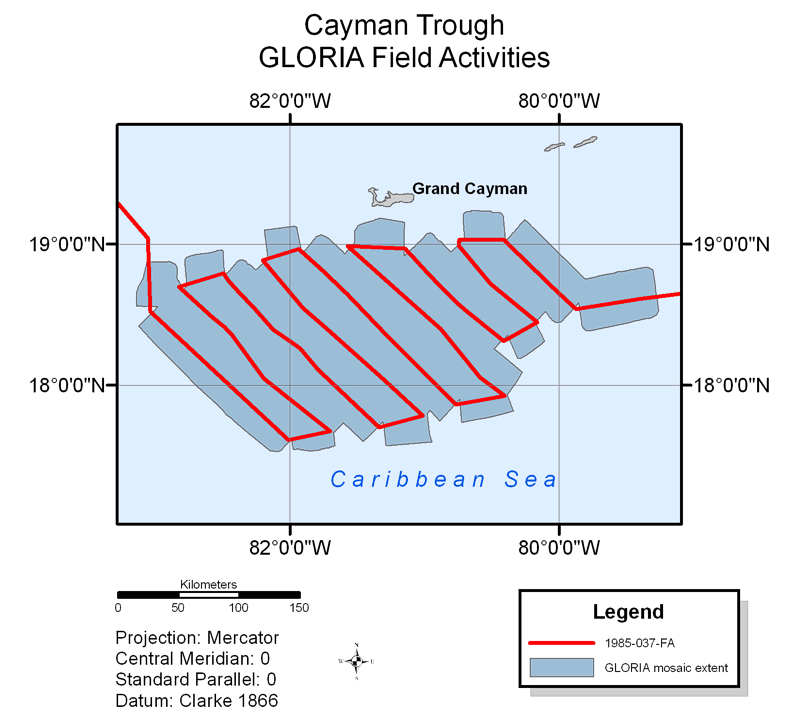
Figure 26. Map showing field activity for GLORIA sidescan-sonar data collection in the Cayman Trough region.

Skip USGS links group

Accessibility FOIA Privacy Policies and Notices

Take Pride in America logo USAGov logo U.S. Department of the Interior | U.S. Geological Survey
End of USGS links group