Skip past header information
USGS - science for a changing world

U.S. Geological Survey Open-File Report 2010-1332


Title | Introduction | Methods | Aleutian Arc | Atlantic Coast | Bering Sea | Cayman Trough |
Gulf of Alaska | Gulf of Mexico | Hawaii I | Hawaii II | Hawaii III | Johnston Atoll | Kingman Palmyra |
Pacific Coast | Puerto Rico | Data Catalog | References | List of Figures | Contacts


U.S. EEZ Hawaii III Northwestern Hawaiian Ridge area GLORIA sidescan-sonar mosaic index map.

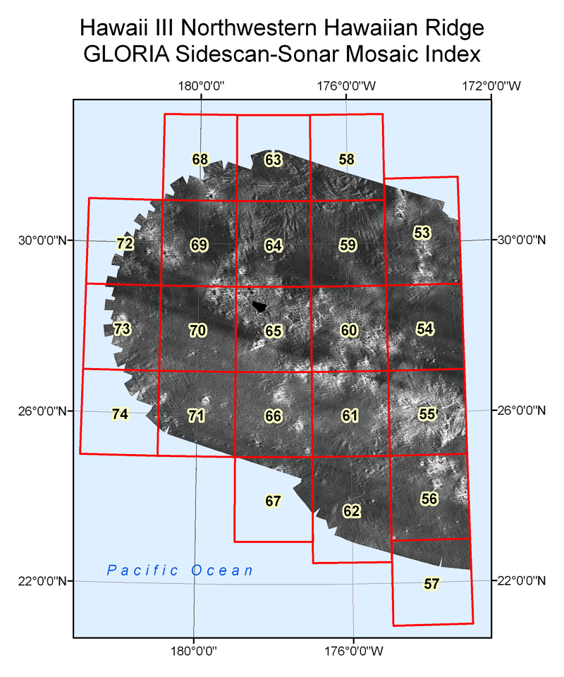
Figure 42. U.S. Exclusive Economic Zone (EEZ) Hawaii III Northwestern Hawaiian Ridge area GLORIA sidescan-sonar mosaic index map.

To obtain a more detailed view of an individual mosaic, move the cursor over the mosaic area and click to select. A reduced version of the mosaic will be displayed in a separate browser window.

Skip USGS links group

Accessibility FOIA Privacy Policies and Notices

Take Pride in America logo USAGov logo U.S. Department of the Interior | U.S. Geological Survey
End of USGS links group

Hawaii III GLORIA mosaic 53. Hawaii III GLORIA mosaic 54. Hawaii III GLORIA mosaic 58. Hawaii III GLORIA mosaic 59. Hawaii III GLORIA mosaic 60. Hawaii III GLORIA mosaic 61. Hawaii III GLORIA mosaic 62. Hawaii III GLORIA mosaic 55. Hawaii III GLORIA mosaic 56. Hawaii III GLORIA mosaic 57. Hawaii III GLORIA mosaic 63. Hawaii III GLORIA mosaic 64. Hawaii III GLORIA mosaic 65. Hawaii III GLORIA mosaic 66. Hawaii III GLORIA mosaic 67. Hawaii III GLORIA mosaic 68. Hawaii III GLORIA mosaic 69. Hawaii III GLORIA mosaic 70. Hawaii III GLORIA mosaic 71. Hawaii III GLORIA mosaic 72. Hawaii III GLORIA mosaic 73. Hawaii III GLORIA mosaic 74.