Skip past header information
USGS - science for a changing world

U.S. Geological Survey Open-File Report 2010-1332


Title | Introduction | Methods | Aleutian Arc | Atlantic Coast | Bering Sea | Cayman Trough |
Gulf of Alaska | Gulf of Mexico | Hawaii I | Hawaii II | Hawaii III | Johnston Atoll | Kingman Palmyra |
Pacific Coast | Puerto Rico | Data Catalog | References | List of Figures | Contacts


U.S. EEZ Pacific Coast area GLORIA mosaic.

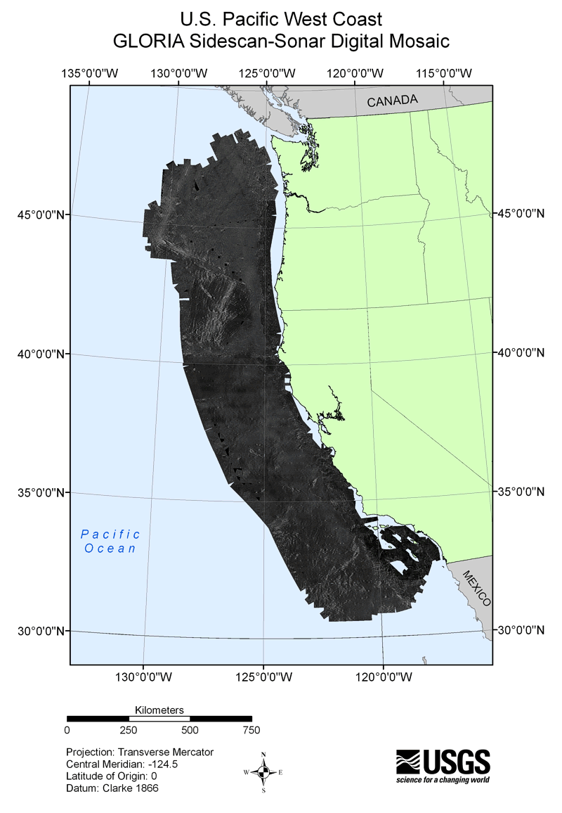
Figure 49. U.S. Exclusive Economic Zone (EEZ) Pacific Coast area GLORIA sidescan-sonar mosaic covers approximately 856,000 square kilometers of seafloor. The survey extends from the Mexican border to the Canadian border and from the continental shelf edge at about the 400-m bathymetric contour, to 200 nautical miles from the coast.

Skip USGS links group

Accessibility FOIA Privacy Policies and Notices

Take Pride in America logo USAGov logo U.S. Department of the Interior | U.S. Geological Survey
End of USGS links group