U.S. Geological Survey Open-File Report 2011–1005
Surficial Geology of the Sea Floor in Central Rhode Island Sound Southeast of Point Judith, Rhode Island
![]() Title |
List of Figures |
Conversion Factors |
Abstract |
Introduction |
Setting |
Methods |
Bathymetry |
Sediments |
Bottom Photography |
GIS Data Catalog |
Summary |
Acknowledgments |
References |
Contacts
Title |
List of Figures |
Conversion Factors |
Abstract |
Introduction |
Setting |
Methods |
Bathymetry |
Sediments |
Bottom Photography |
GIS Data Catalog |
Summary |
Acknowledgments |
References |
Contacts
 |
||
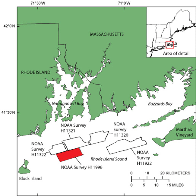
Figure 1. Index map showing location of the National Oceanic and Atmospheric Administration (NOAA) survey H11996 study area in Rhode Island Sound. Other NOAA surveys in Rhode Island Sound interpreted as part of our research cooperative include: H11320 (McMullen and others, 2007), H11321 (McMullen and others, 2008), H11322 (McMullen and others, 2009), and H11922 (Poppe and others, 2011). |
||


