U.S. Geological Survey Open-File Report 2011–1005
Surficial Geology of the Sea Floor in Central Rhode Island Sound Southeast of Point Judith, Rhode Island
![]() Title |
List of Figures |
Conversion Factors |
Abstract |
Introduction |
Setting |
Methods |
Bathymetry |
Sediments |
Bottom Photography |
GIS Data Catalog |
Summary |
Acknowledgments |
References |
Contacts
Title |
List of Figures |
Conversion Factors |
Abstract |
Introduction |
Setting |
Methods |
Bathymetry |
Sediments |
Bottom Photography |
GIS Data Catalog |
Summary |
Acknowledgments |
References |
Contacts
 |
||
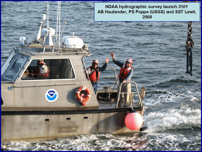
Figure 6. Launch 3101, used to collect bathymetric data for National Oceanic and Atmospheric Administration survey H11996 with able seaman Haulander, physical scientist Poppe, and senior survey technician Lewit aboard. |
||


