U.S. Geological Survey Open-File Report 2011-1009
National Assessment of Shoreline Change: A GIS Compilation of Vector Shorelines and Associated Shoreline Change Data for the Sandy Shorelines of Kauai, Oahu, and Maui, Hawaii
/ Title Page / List of Figures / Conversion Factors / Abstract / Introduction / Methods / Geospatial Data / Acknowledgments / References Cited /
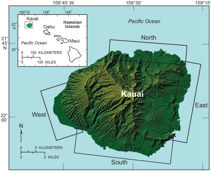
Figure 1. Map of Kauai showing shoreline study regions: north, east, south, west.
Download the full size image in PDF format (106 KB).
To view files in PDF format, download a free copy of Adobe Reader.