U.S. Geological Survey Open-File Report 2011–1222
Sea-Floor Geology and Sedimentary Processes in the Vicinity of Cross Rip Channel, Nantucket Sound, Offshore Southeastern Massachusetts
 |
||
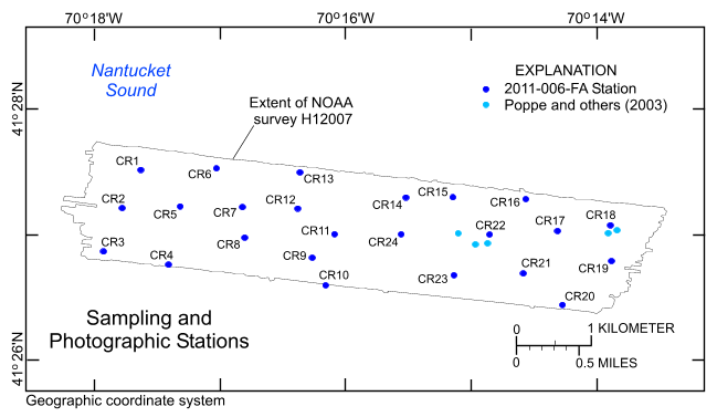
Figure 15. Map showing the station locations used to verify the acoustic data with bottom sampling and photography during U.S. Geological Survey cruise 2011-006-FA. | ||


