U.S. Geological Survey Open-File Report 2012-1038

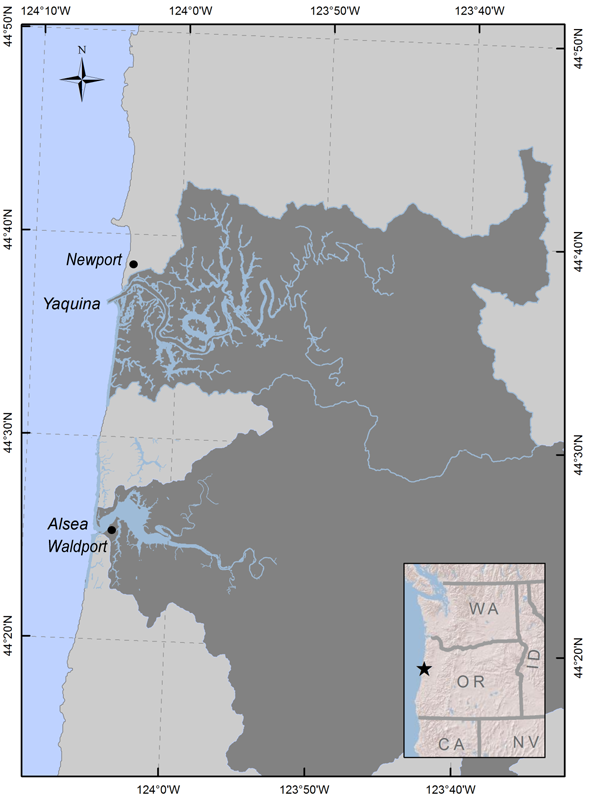
Figure 1. Map of the Central Oregon Coast showing locations of the Yaquina and Alsea estuaries and associated drainage basins. Oregon boundaries from the Nationalatlas.gov in geopgraphic projection. Watershed boundaries and water polygons from U.S. Environmental Protection Agency classification project (Lee and Brown, unpublished data, 2009). |
First posted May 10, 2013
For additional information contact: Part or all of this report is presented in Portable Document Format (PDF); the latest version of Adobe Reader or similar software is required to view it. Download the latest version of Adobe Reader, free of charge. |