U.S. Geological Survey Open-File Report 2012-1038

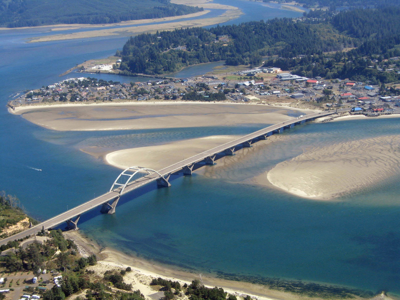
Figure 2. Aerial image showing extensive intertidal area near the mouth of the estuary, Alsea Bay, Oregon. (Photograph by Laura Brophy, Green Point Consulting, September 2007). |
First posted May 10, 2013
For additional information contact: Part or all of this report is presented in Portable Document Format (PDF); the latest version of Adobe Reader or similar software is required to view it. Download the latest version of Adobe Reader, free of charge. |