U.S. Geological Survey Open-File Report 2012-1038
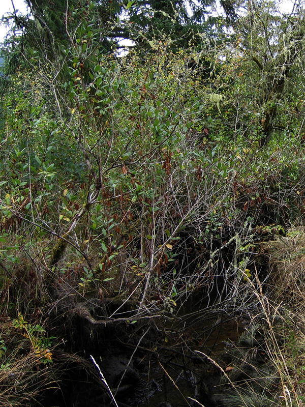
Figure A10. Photograph of black twinberry (Lonicera involucrata) growing on the bank of a tidal channel in tidal swamp at prioritization site Y28 in fig. 6 in the Yaquina estuary, Oregon. Trees in the background are Sitka spruce, also growing on the tidal channel banks. Summer surface water salinity at this site is in the mesohaline range (8–9). Photograph by Laura Brophy, Green Point Consulting, September 2006. |
First posted May 10, 2013
For additional information contact: Part or all of this report is presented in Portable Document Format (PDF); the latest version of Adobe Reader or similar software is required to view it. Download the latest version of Adobe Reader, free of charge. |

![]() U.S. Department of the Interior |
U.S. Geological Survey
U.S. Department of the Interior |
U.S. Geological Survey
URL: http://pubsdata.usgs.gov/pubs/of/2012/1038/figureA10.html
Page Contact Information: GS Pubs Web Contact
Page Last Modified: Friday, 10-May-2013 12:37:32 EDT
