| Lake Pontchartrain Basin: Bottom Sediments and Related Environmental Resources |
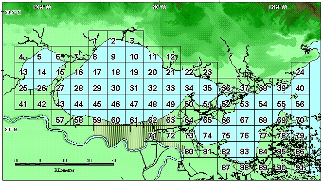
Figure 6. Map showing numbered grid squares in "AREA_CD_SQ" field.
| Below is a map of the areas used in the AREA_CD_SQ field of the sediment database (appendix D). Available here are compressed (.zip) files containing either MapInfo's export files or an ArcView shapefile showing these delineated areas. To obtain free utilities to decompress these files, see Tip 3 in appendix D. |
![]() Back to Data Sources and Locations
Back to Data Sources and Locations
![]() Back to Analytical Methods and Quality Control
Back to Analytical Methods and Quality Control