
|
|
Scientific Investigations Map 2940 |
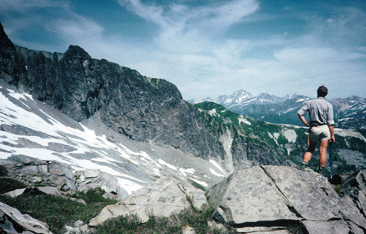
| QTcc-1. View northeast from point south of Ruth Mountain [MBnw] of 4 Ma quartz diorite and quartz monzodiorite of Icy Peak (QTcp) intruding 3.7 Ma rhyolite tuff of Hannegan caldera (QTcc) (Tucker and others, 2007). Contacts dashed where approximately located. View image with annotation |
|
Other photos that show unit QTcc:
     |
 |