U.S. Geological Survey Open-File Report 2011-1127
Construction of a 3-Arcsecond Digital Elevation Model for the Gulf of Maine
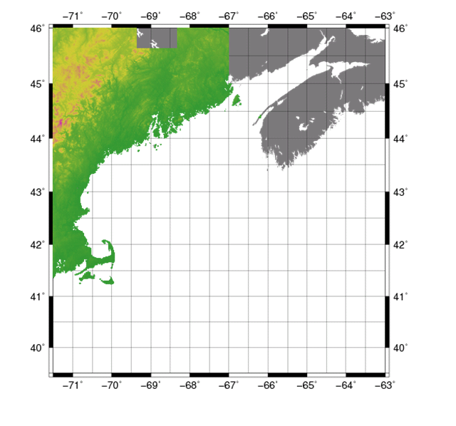
Data Properties:
The GMT 'blockmedian' command was used to resample the data from 1-arcsecond (approximately 30 m) to 3-arcseconds (approximately 90 m). The final processing step was to clean the data by removing any points that fell offshore from the coast. The ArcMap 9.2 ArcToolbox Analysis 'near' tool was used to clip all the data lying within the "Medium Resolution Digital Vector U.S. Shoreline" shapefile for the contiguous United States and save the points lying within the boundaries of the shapefile into a new file to be input into the gridding algorithm. NED data within 1000 m of The National Aeronautics and Space Administration’s Shuttle Radar Mission Topography (SRTM) and NOAA NOAA’s National Ocean Service (NOS) Coastal Services Center (CSC) coastal LIDAR data were removed to avoid overlapping. For more information on blockmedian and manual data removal, see Common Processing Steps and Data. |