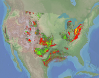
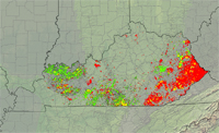
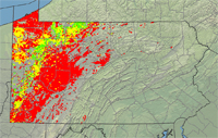
DDS 69-Q: Areas of Historical Oil and Gas Exploration and Production in the United States
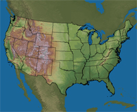
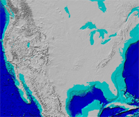
Layer InformationFor detailed documentation, click on the layer name or graphic shown below. This action opens a window containing a brief data description and links to data download and full metadata records, among other useful tools and information. USGS Oil and Gas Quarter-mile Cells for the: Digital topographic data of the Earth's land surface in the United States, and digital bathymetric data of the ocean floors World-wide are from the USGS National Map and the ESRI Geography Network: U.S. Geological Survey National Map
|