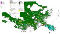
| Barrier Island and Wetland Land Loss Classification: |
 PDF poster, 42 x 34 inches
|
 PDF poster, 42 x 33 inches
|
Geomorphic
Classification of Coastal Land Loss between 1932 and 1990 in the Mississippi River
Delta Plain, Southeastern Louisiana, USGS Open-File Report 00-417, PDF format.
| Process
Classification of Coastal Land Loss between 1932 and 1990 in the Mississippi River
Delta Plain, Southeastern Louisiana, USGS Open-File Report 00-418, PDF format. |
The
Land loss maps are also available in a zipped EPS format:
OFR
00-417 (7 MB)
OFR
00-418 (8 MB) |
| Shoreline Change: |
The following are shoreline
change posters from the USGS Open-File Report 03-398 in PDF format for the Louisiana barrier islands. The Data Catalog includes
the earliest shoreline used in the shoreline change calculations and the recent
shorelines used except in the case of the North and South Chandeleur barrier
islands. For these two areas, the latest shoreline is 1999 (instead of 1996, which
is represented in the PDF).
The posters are of low resolution, and each section
(text, tables, and maps) is linked to the full resolution version of that section.
For example, clicking on the text section on the left-hand side will open the
full-resolution version of the text. |
| 
|
|
 |
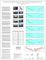
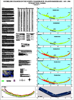
| Hurricane
Andrew Impact on the Timbalier Barrier Island Arc |
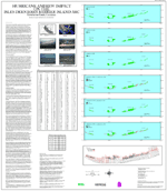
Hurricane Andrew Impact on the Isles Dernieres Barrier Island
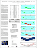
Arc | Shoreline Changes
in the Timbalier Barrier Island Arc: 1887-1996 |
|
 |
 |
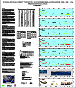 |
| Shoreline
Changes in the Isles Dernieres Barrier Island Arc: 1887-1996 |
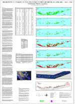
Shoreline Changes in the North Chandeleur Islands Barrier Arc:
1855-1996 | Shoreline
Changes in the South Chandeleur Islands Barrier Arc: 1869-1996 |
|
 |
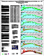 | |
| Shoreline
Changes in the Caminada-Moreau Headland and Grand Isle: 1887-1996 |
Shoreline Changes in the Plaquemines Barrier Island System:
1884-1996 |
|
| |
For ease in printing, continuous PDF files are provided below. They contain the text for each poster immediately followed by its corresponding Figures,
Maps, and Tables.
Hurricane
Andrew Impact on the Timbalier Barrier Island Arc (1.6 MB)
Hurricane
Andrew Impact on the Isles Dernieres Barrier Island Arc (1.3 MB)
Shoreline
Changes in the Timbalier Barrier Island Arc: 1887-1996 (1.2 MB)
Shoreline
Changes in the Isles Dernieres Barrier Island Arc: 1887-1996 (1.4 MB)
Shoreline
Changes in the North Chandeleur Islands Barrier Arc: 1855-1996 (1.8 MB)
Shoreline
Changes in the South Chandeleur Islands Barrier Arc: 1869-1996 (2.8 MB)
Shoreline
Changes in the Caminada-Moreau Headland and Grand Isle: 1887-1996 (1.0
MB)
Shoreline
Changes in the Plaquemines Barrier Island System: 1884-1996 (1.2 MB)
To view files in PDF format, download a free copy of
Adobe Reader.
|
| |