
Introduction
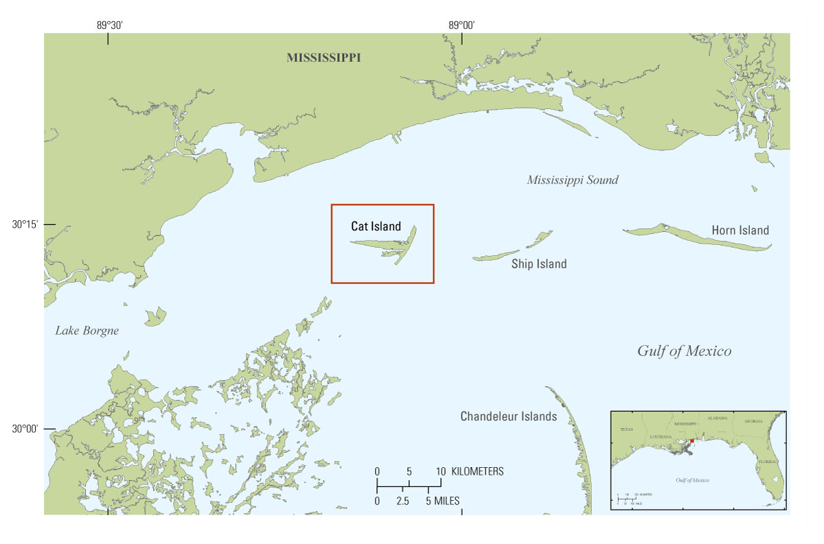
The Mississippi-Alabama barrier islands are part of a dynamic coastal environment with changing coastlines and increased land loss over time (Morton and others, 2004; Morton, 2008, Buster and Morton, 2011). Cat Island is the westernmost of the Mississippi barrier islands and is the focus of this study (fig. 1). While Cat Island is considered the most “stable” of all of these barrier islands and is not migrating or losing land in the same ways or at the same rate as the other islands, the size and morphology of the island have changed over the last approximately 150 years (Morton, 2007). To place these changes in the context of the evolution of the northern Gulf of Mexico coastal system, it is important to understand the sediment distribution, stratigraphy, elevation of the island and bathymetry around the island, all of which contribute essential information about island platform history and morphology, nearshore processes, and coastal evolution. In addition, sedimentogical data can be combined with high-resolution seismic data to provide a three-dimensional analysis of the geology underneath the surface and surrounding the island.
The sedimentological data presented in this report provide information about the terrestrial and marine sedimentology, depositional history, and stratigraphy on and around Cat Island, Miss. Eleven terrestrial vibracores were collected between August 4 and 6, 2010, and 29 marine vibracores were collected between October 20 and 22, 2010, aboard the Research Vessel (RV) G.K. Gilbert as part of the Barrier Island Monitoring (BIM) project (U.S. Geological Survey (USGS) Field Activity Collection System (FACS) numbers 10BIM03 and 10BIM06). Processed data, maps, and tables are downloadable as Portable Document Files (PDFs), spreadsheets, Joint Photographic Experts Group files (JPGs), and in a geographic information system (GIS) format located in the section Data Products and Downloads.This report describes the sediment data collected in 2010 from Cat Island, Miss. The Cat Island project collected bathymetric and side-scan sonar data (Buster and others, 2012) and seismic-reflection data (Forde and others, 2012). Other USGS geophysical publications relevant to this study area include Morton and Rogers (2009); Smith and others (2009); DeWitt and others (2010; 2011a, b, c); Forde and others (2011a, b, c, d); Pendleton and others (2011); Pfeiffer and others (2011); and Twichell and others (2011).
